

Data has the power to transform lives
Excellent addressing and accurate street data has the power to transform people’s lives.
In Great Britain, GeoPlace is the guardian and champion of that information on a national scale.
Authoritative UK geospatial address and street data
GeoPlace is a limited liability partnership owned equally by the Local Government Association (LGA) and OS. We are responsible for collating, managing and maintaining the primary UK authoritative geospatial address and street data.
GeoPlace is recognised world-wide as an established expert in managing address data and its associated infrastructure. We do this to a standard and in a way that inspires innovation and transforms people’s lives on a national scale.
Download our paper

DATA SYNCs
UPRNs
USRNs
Latest News
Connecting people and places
GeoPlace annual conference
The GeoPlace conference 2024 will take place in person on Tuesday 21st May at Manchester United Football Club

Street data and services
DataVia API
Add the National Street Gazetteer’s detailed street data to your GIS, web or mobile applications with ease and make location-based decisions with confidence.
How to...
Use your gazetteer to detect missing local tax revenue
Are you collecting all your local revenues? Do you know where all your residents live and where all of your businesses are located? Are you identifying all non-exempt properties and clamping down on fraud?

The power of place
Becoming open and royalty free
Since July 2020, Unique Property Reference Numbers (UPRNs) and Unique Street Reference Numbers (USRNs) have been openly available and royalty free for use on Open Government Licence (OGL) terms from Ordnance Survey.

Local Government Association
UPRN: A guide for councils
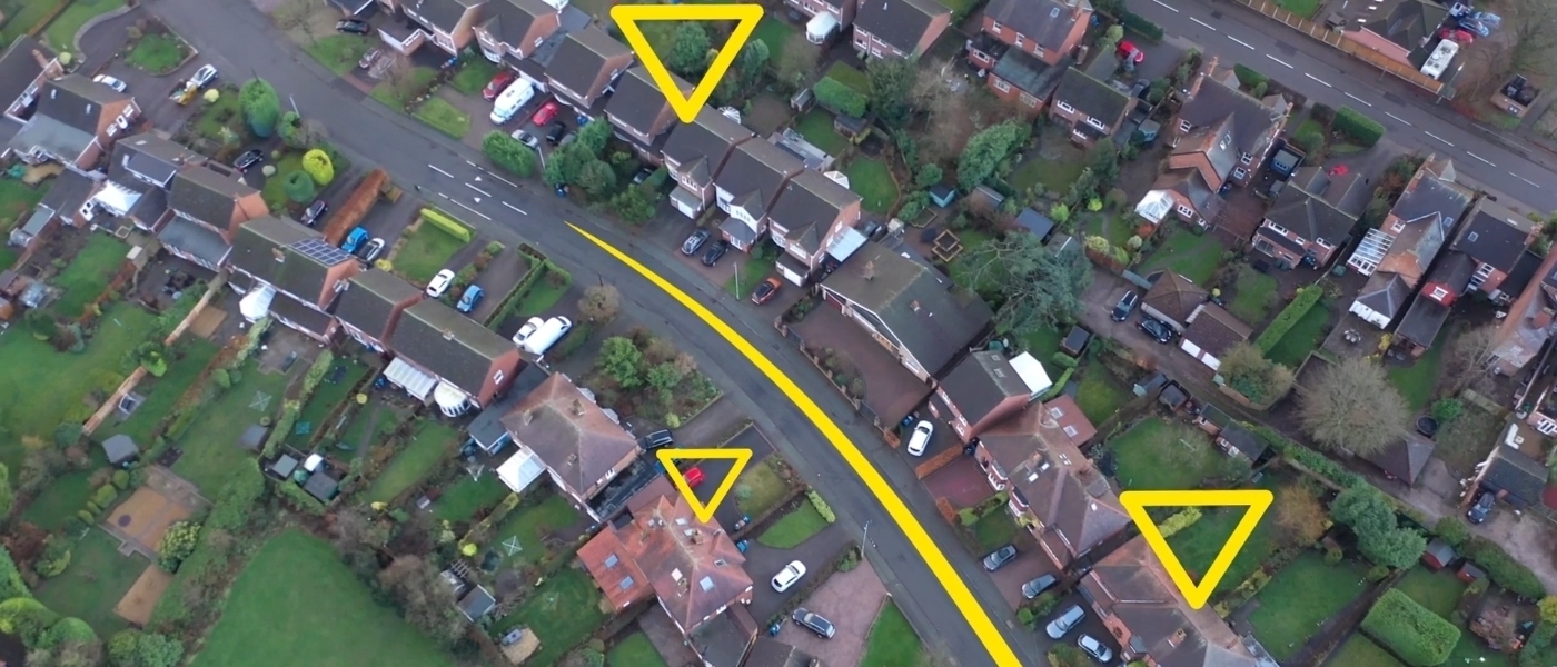
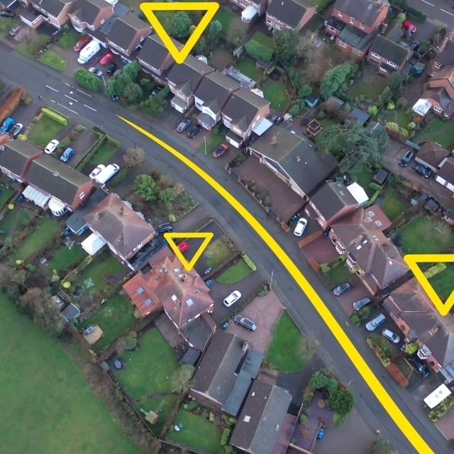
The Unique Property Reference Number (UPRN), as the unique identifier for every addressable location, is key to almost everything that’s delivered or achieved by councils.
open UPRNs and USRNs
The power of place
From July 2020, Unique Property Reference Numbers (UPRNs) and Unique Street Reference Numbers (USRNs) are openly available and royalty free for use on Open Government Licence (OGL) terms from Ordnance Survey.

data and services
FindMyStreet
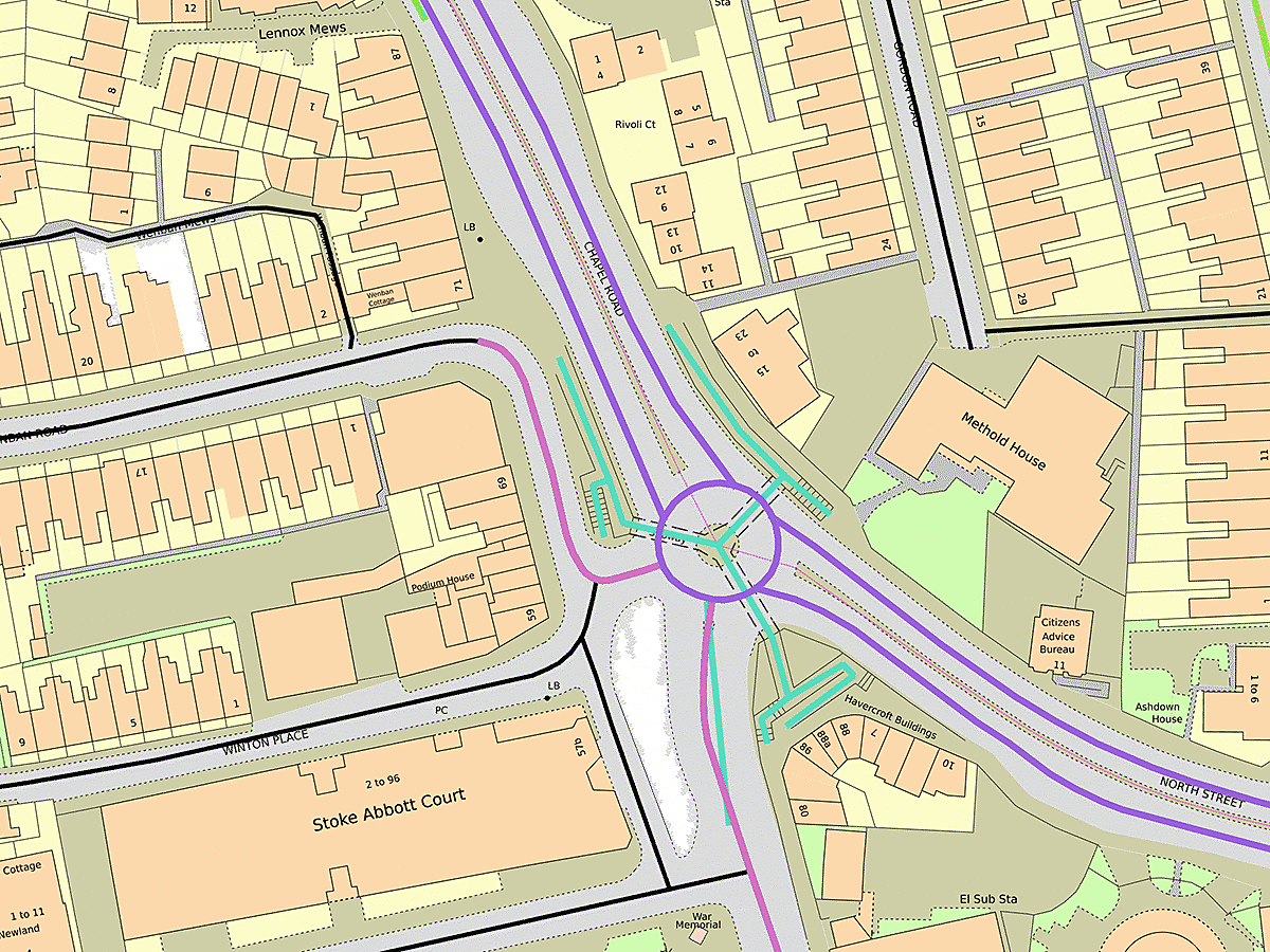
FindMyStreet will show you every street that’s recorded in the National Street Gazetteer. The service will tell you where a street can be found, what its official name is, and who’s responsible for maintaining that street.

Data and services
FindMyAddress
Find the official address or unique property reference number (uprn) for every property in Great Britain


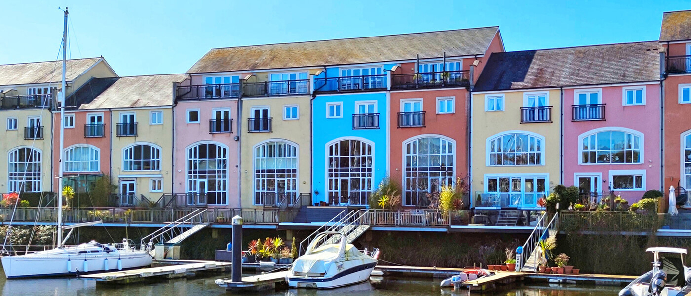
Monthly Calendar: April 2024
Each month we share a desktop calendar, featuring a photograph sent in from our local authority community. This month's photograph:
Place: Penarth Portway, Penarth, CF64 1SQ
Local authority: Vale of Glamorgan Council
Photographer: Bruno Osório
Get in Touch Now
Whether you need help creating address and street data, or you want to talk to us about how we can help you to get the most out of your location data, we'd love to talk with you.