Share
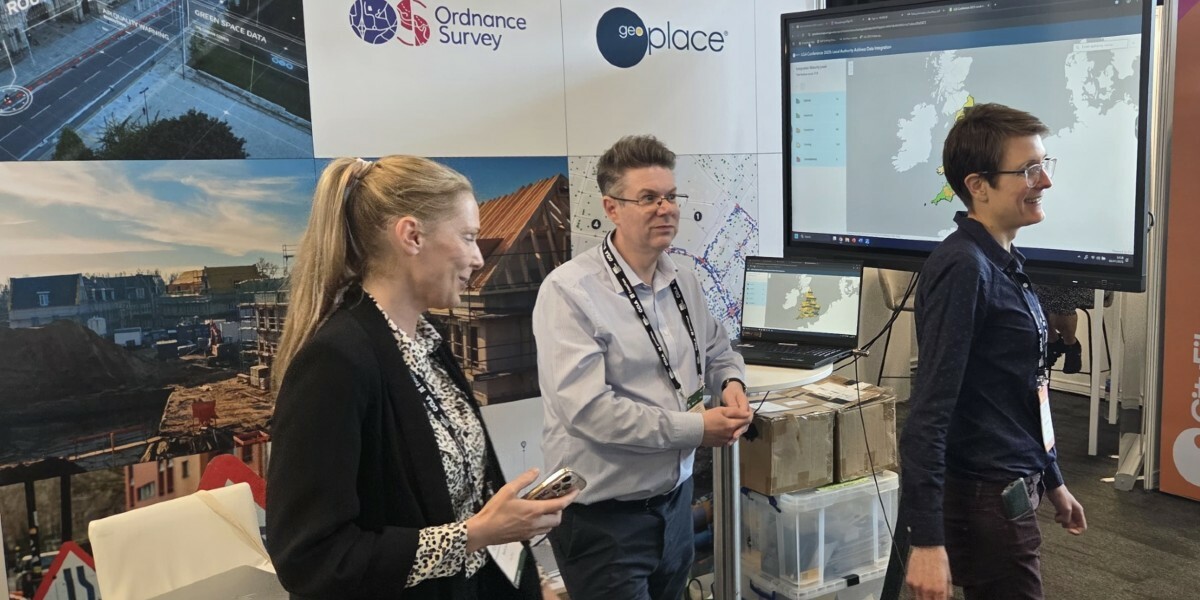
Last week some of the team from GeoPlace attended the Local Government Association (LGA) Conference in Liverpool. This event is one of the most important in the calendar for the local government community, attended by Chief Executives, Councillors and senior leaders from almost every local authority across the country.

The conference is always a fantastic opportunity to speak directly with leaders and decision makers and share the message about the great work done by the address and street community. We also wanted them to know about the huge untapped potential in supporting and effectively utilising UPRNs, USRNs and location data.
This year the team were joined on our stand by colleagues from Ordnance Survey (OS), providing an even more valuable source of information and expertise on the value of location data. Among the key messages we wanted to communicate were:
- UPRNs & USRNs - the national standard for identifying every addressable location and street in Great Britain
- OS National Geographic Database (NGD) - access a wealth of trusted, high-quality geospatial data all in one place
- Local Government’s Best Kept Secret - address and street data: quietly powering smarter decisions, more efficient services and supporting local communities
- Multi-modal routing, made easy - connect road, rail, path, and ferry networks for smarter transport, travel and logistics
- Street works that keep traffic moving - using street data to support authorities to cut disruption and coordinate infrastructure delivery
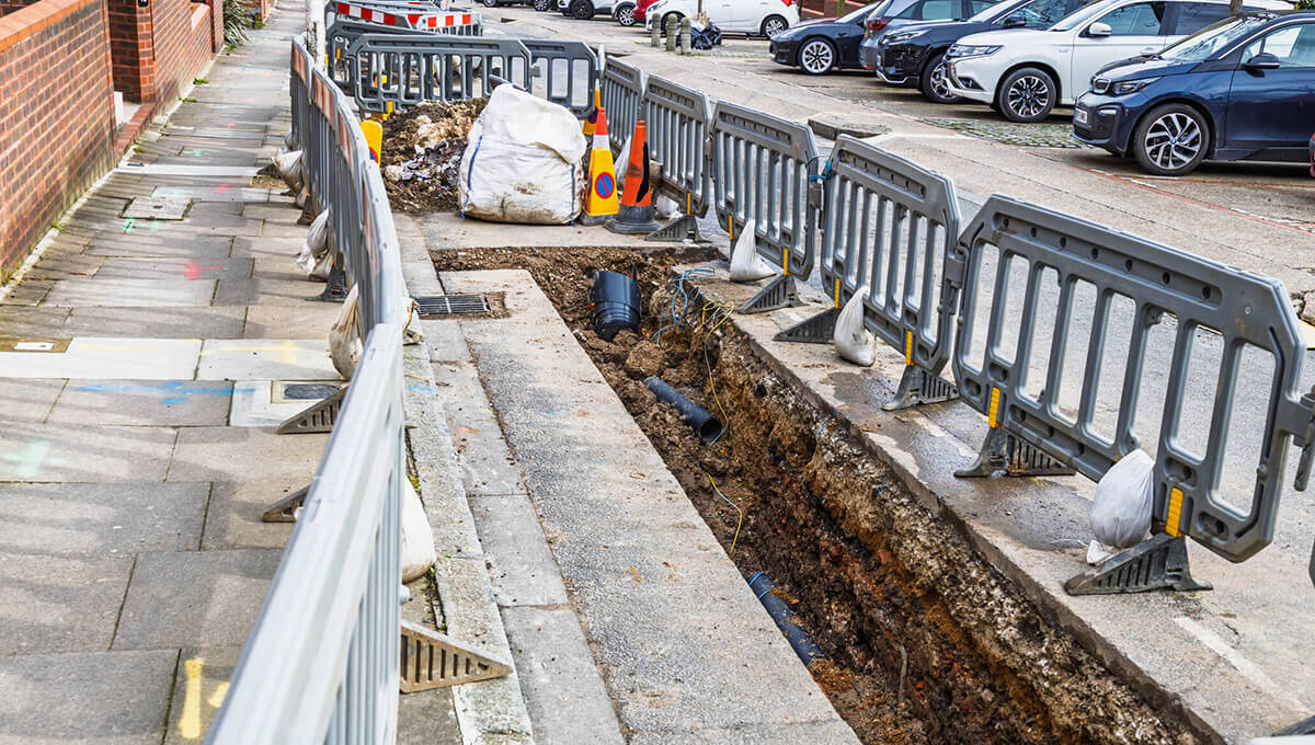
- National Underground Asset Register - underground asset data is helping to improve the efficiency and safety of the way we install, maintain, operate and repair our buried infrastructure
As Local Authority Liaison Manager, my focus is on supporting and promoting the work of Address and Street Custodians, and in particular the value of effective use of UPRN and USRN data. The DCA community will be familiar with the integration infographics produced each year which show how effectively gazetteer data is used in each service area. Each year we share these with attendees via an interactive map which is always a huge source of interest, as Chief Execs and Councillors can see the bigger picture and potential areas of improvement for their authorities.
I was also fortunate enough to speak in the Innovation Zone, alongside Martin Laker, GIS Manager at Bath and North East Somerset Council. Our presentation was on ‘Cost Savings Through Data Integration: How local authorities can maximise the value of their location data’. The talk gave an introduction to UPRNs and USRNs, their potential use for service improvements and savings across council areas, and Martin spoke about the uses within his own authority.

We then looked at the return on investment in effective use of address and street data, the Custodians who maintain it, and the importance of having a council-wide policy to support this and mandate its use in departmental systems.
GeoPlace has recently published UPRN Policy Principles – a document for councils wishing to implement a clear, unambiguous policy to ensure they get data right from the start, and procure systems that are capable of using UPRN data effectively. Based on the established Open Group Architecture Framework (TOGAF), these principles take the form of a template which can be adapted to suit any authority or policy type and are endorsed by both the LGA and SOCITM. This document also forms part of the wider suite of resources supporting data integration which GeoPlace provide.
The policy is built on one high-level primary principle: All council systems referencing property information MUST use the Unique Property Reference Number (UPRN). The primary principle is supported by 5 sub-principles which explain what that means in practice:
1. Consuming
2. Updating
3. Interpreting
4. Displaying
5. Sharing
Our research with councils has told us how existing policies are often unclear or not fully implemented, so the Policy Principles focus on how this goal can be achieved and why it matters.
What does ‘using’ the UPRN really mean in practice? It means consuming it (holding it in the system), updating it (because nothing stays the same), interpreting it (because addresses are more complex than you think!), displaying it (because you need to be able to see the data), and sharing it (which is at the very heart of integration – it’s only valuable if everyone can use it).
We finished our presentation with two clear calls to action for our audience – find out if your authority has a data strategy, and get your LGA Best Kept Secret report to see where your authority could make better use of its address and street data.
As well as the many valuable one-to-one conversations, our presentation gave us the chance to share these messages with a wider audience, and attendees came away with resources and food for thought – hopefully to start conversations within their own authorities on how address and street data are a valuable asset that they can’t afford to ignore.
You can read more about the UPRN Policy Principles here and also in this article on the UKAuthority website about how UPRNs support local government transformation.