We are GeoPlace, a partnership that’s owned equally by Local Government Association and Ordnance Survey. We work closely with local authorities, utilities and transport authorities to collate, manage and maintain the UK’s authoritative address and street data, used for planning, managing, maintaining, and future-proofing Great Britain’s streets.
The street data is underpinned by legislation and used by all organisations with a remit to undertake streetworks, to ensure coordination and appropriate permissions are given and assets are protected. The data is made available as the National Street Gazetteer and available via DataVia, an API.
We offer a wide range of products, services and support to keep traffic flowing including:
- APIs to access the NSG so that you can ingest the most authoritative information about streets and their lifecycle and features
- Consultancy on permit schemes, lane rental and traffic sensitive streets Unlimited access to FindMyStreet showing which streets are publicly maintainable
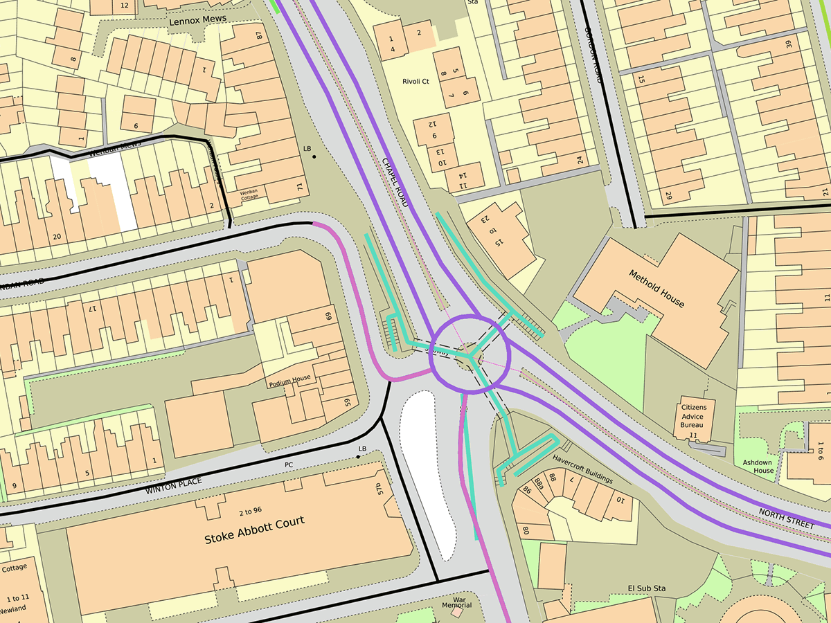
- Data linking and integration utilising the Unique Street Reference Numbers (USRN) used to uniquely identify and reference streets, their maintenance and their assets.
- Partnership working with Geospatial Commission, DfT, TfL, JAG and HAUC to respond to the changing requirements of street data
Access street data and services here:
products and services
Accessing street data
Learn more about Accessing street data View more about Accessing street data
data and services
FindMyStreet
For England and Wales, Findmystreet.co.uk shows where a street is, what its official name is in the NSG, and who is responsible for maintaining that street.

Street data and services
DataVia API
DataVia provides a comprehensive street network for England and Wales, enriched with critical details from the NSG.
products and services
Street works near me
Learn more about Street works near me View more about Street works near me
Products and services
Performance scores
Learn more about Performance scores View more about Performance scores
street data
Classification of roads and the Primary Route Network
Roads are organised through the roads classification system, along with the dedication of a primary route network to advise people to the recommended route to use.

street data and services
Full list of streets services
Learn more about Full list of streets services View more about Full list of streets services
UPRN and USRN
Linked data using the UPRN and USRN
Take a look at some datasets that have been linked to the UPRN or USRN by various organisations.