Contact your local Custodian
- Talk about UPRNs and USRNs – find out who knows how these location references which tie location and services together
- Support the teams that use this data – avoiding duplication and mistakes
- Create a culture of data sharing – encourage other colleagues to find out more about UPRNs and USRNs.
Local authority Custodians
Local authorities in Great Britain create local address and local street databases for their administrative areas, which are maintained by the authority through local government’s statutory responsibility to name and number streets. The street data maintained by local authorities via their LSG is underpinned by legislation and used by all organisations with a remit to undertake street and road works, to ensure coordination and appropriate permissions are given for street works.
These are authoritative datasets, complete and regularly updated, so can act as an integrator of disparate datasets and facilitate joined-up decision-making within and between different public sector entities. Every planning authority has as Local Land and Property Gazetteer Custodian (address Custodian) and every highways authority has a Local Street Gazetteer Custodian (street Custodian). Both role are essential for managing and maintaining these essential datasets which are used locally and nationally.

Local authority Custodians, connecting people with places
Supporting public services, emergency response and business. Local authority Address and Street Custodians act as the central source for all address and street intelligence in their area and they are responsible for maintaining the data to agreed national standards. As well as being used in internal systems such as planning, council tax, electoral roll and asset management, this data is used by thousands of other organisations, right across the UK.
External Link
Find my local address and street Custodian
The LGA has developed a tool to help you find your local address and street Custodian. The ‘find my custodian’ service enables you to identify quickly who your custodian is, to support with enhancements of your case management systems, which is a precursor to making better use of data and improving service delivery in your local area.

Video
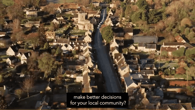
Connecting services to people from places
Custodians maintain the magic ingredients that connect services to people to places

VIDEO
Everything Happens Somewhere
Custodians have the inside track on how you could connect up your data
Case studies
Case study library
Are you looking for a case study on street data? Want to read a case study about addressing, or how to engage more effectively with your own authority? We capture the results from local authorities and Custodians' work across England and Wales, showing how valuable UPRNs, USRNs, street and address data is for society, people, businesses, and decision-making in general. We have over 300 case studies on using address and street data to help realise the power of place.

Report
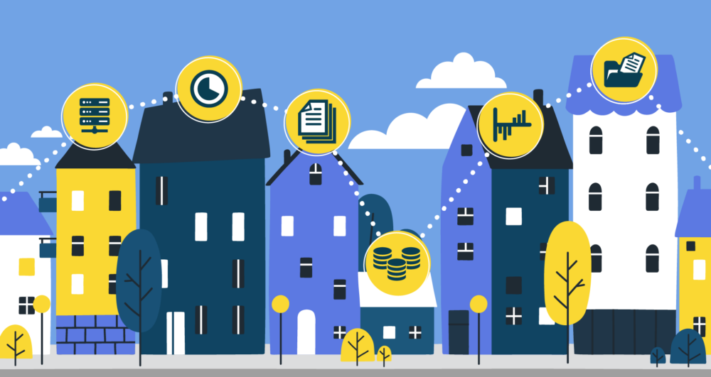
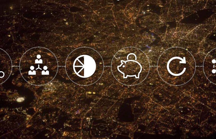
A common standard for digital transformation
Transforming the way services are delivered provides a key to delivering critical services with less. Sharing data is a cornerstone of being able to do this, but sharing data is a huge challenge and opportunity, with many reports and studies estimating that millions of pounds could be saved by embracing data sharing and collaboration.
How to...
Derive efficiencies and insight from the data you didn’t know you had
All councils have an incredible pool of data at their disposal. Find a series of resources designed to support your data journey.