Share
GeoPlace’s National Data Analyst, Matthew Van Schaick, puts forward some ideas on how the NSG could be used to record data on roadside verges.

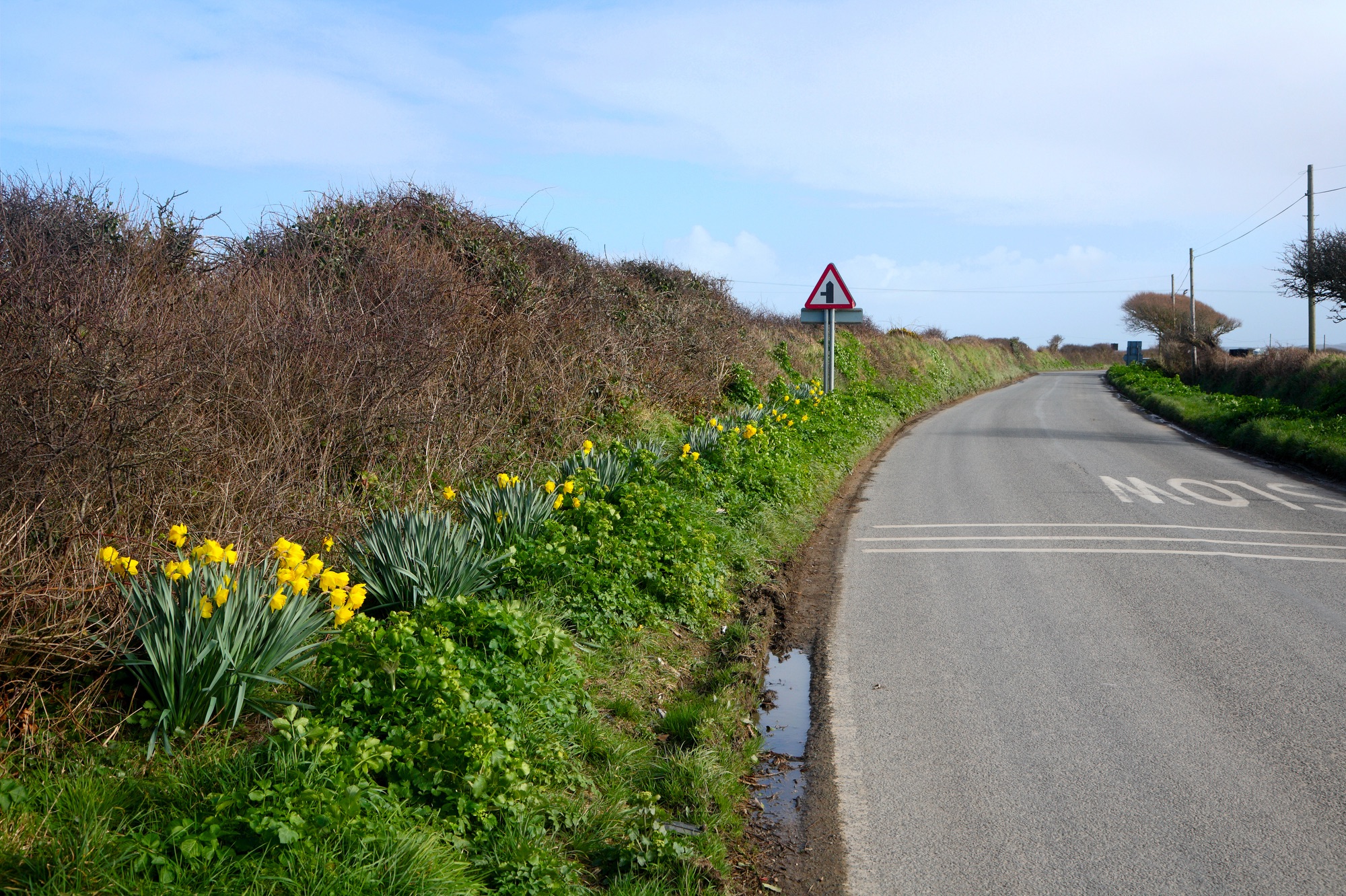
British wildflower meadows are integral to the ecosystem. Over time, these have been significantly reduced (reportedly by 97% since the 1930s). In part, this reduction is due to the expansion of the road network and infrastructure across the UK.
The reduction of wildflower meadows can have a wide impact. It means a loss of habitat for many small creatures, such as field mice, dormice etc, resulting in them seeking new habitats in roadside verges, even in busy, built up areas. So as the wildflower meadows are reducing, roadside verges are increasingly becoming more ecologically vital as a location for wildflowers to grow and thrive, attracting bees so vital for pollinating farming crops and flowers, and to ensure habitats for wildlife.
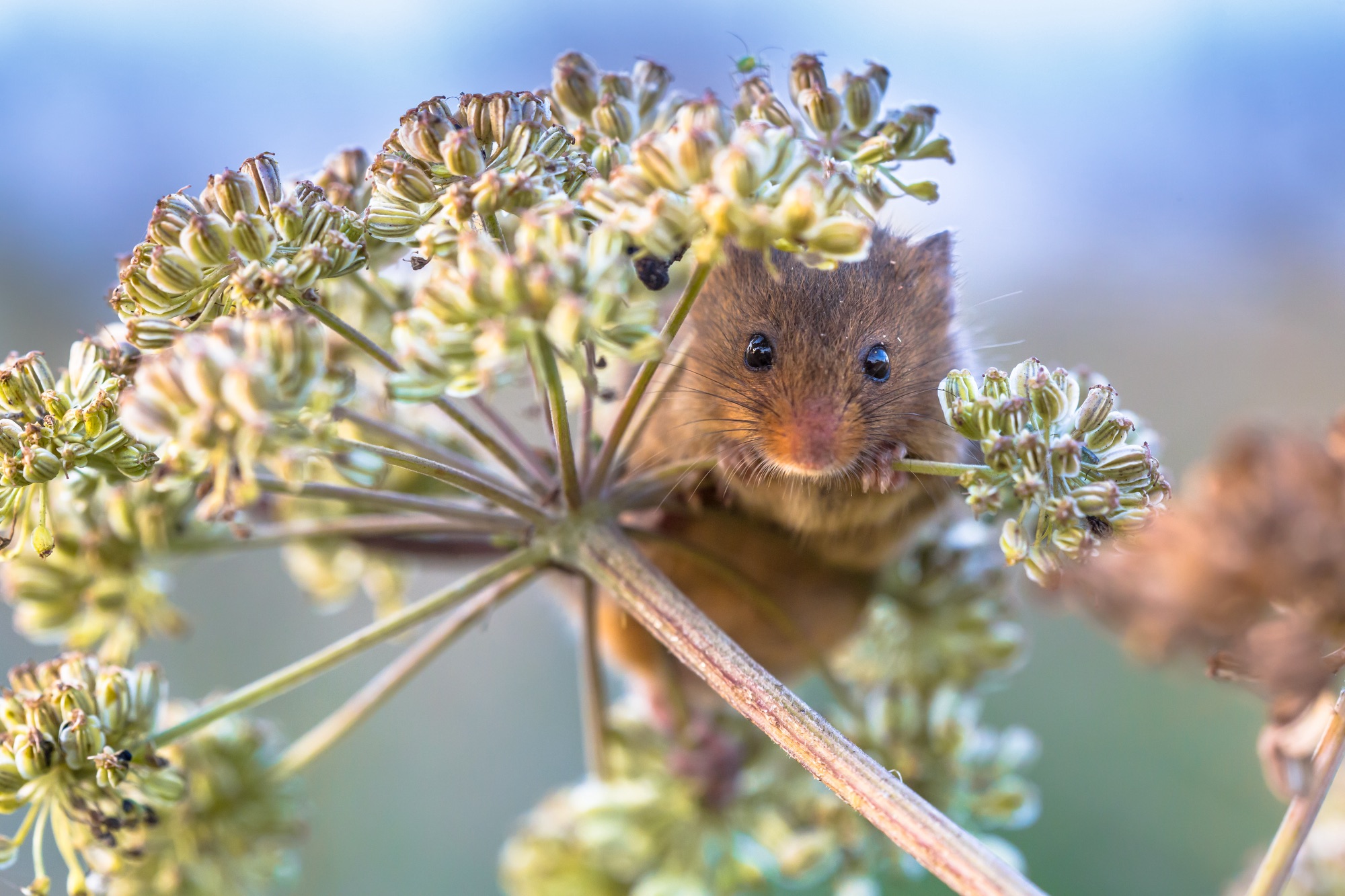
With the development of infrastructure, natural land is becoming fragmented, resulting in some road verges acting as ‘wildlife corridors’ assisting with the movement of flora and fauna across the countryside (Barkham, 2019), which means that roadside verges are essential in the promotion of British ecology.
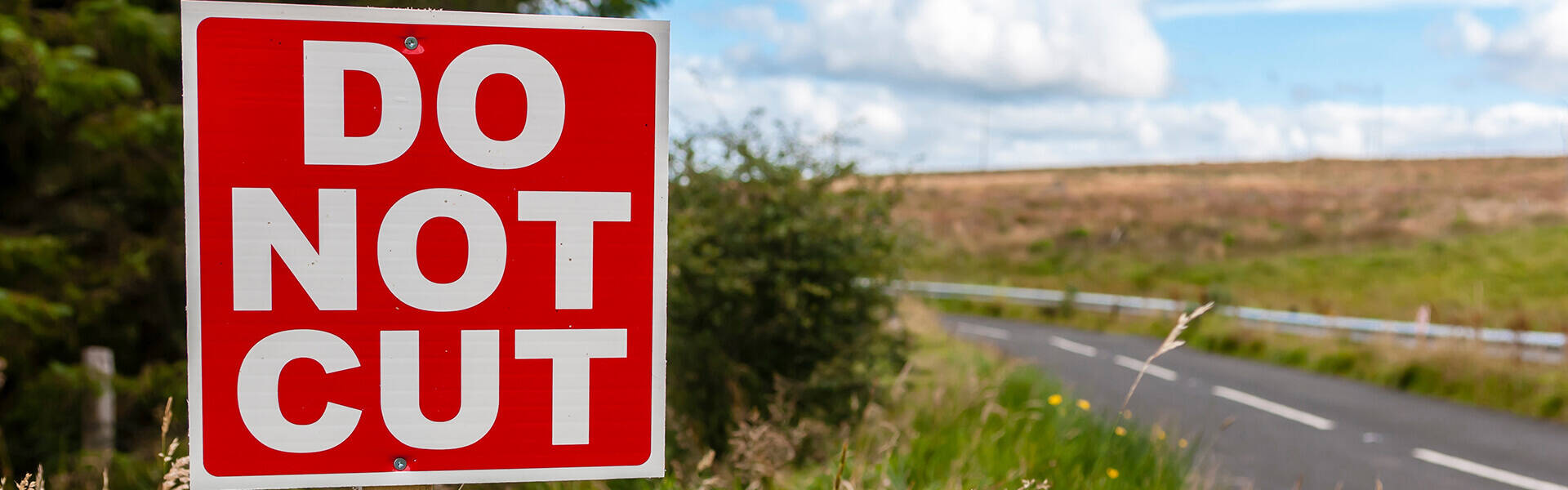
Some roadside verges and meadows are already assigned as ‘protected’, by Natural England, as Sites of Special Scientific Interest (SSSI). Not all local highway authorities record these in the NSG as ‘special designations’ as it is currently optional to submit this data.
If the NSG was used to record the location of roadside verges, this data could be shared with other agencies who are working to maintain this fragile environment. A working relationship between GeoPlace, councils, highway services, wildlife trusts and other conservation agencies would be able to identify sites of interest and importance, which has occurred in parts of the UK. Working together, the aim is to protect and manage the verges and monitor the wildlife that resides along them, strengthening these ecosystems.
Being able to record the data would only be part of the solution. It would be important to promote and work with other agencies to protect the fauna and flora in the roadside verges as a way of helping in their preservation, as all too often we hear about rare plants or endangered habitats being stripped to make way for roads or drains, even when the information has been recorded in the data.
Going forward, there will be some challenges to consider in recording the data:
- The NSG currently holds 18,432 USRNs that have a special designation record ‘9’ for environmentally sensitive areas
- Although it is a mandatory requirement to add a description, the descriptors can be limited, in part due to lack of space, but also because not everyone is working from the same data sets
- 8,973 of these special designations do not have any coordinates present to pinpoint a location for these areas and we can only rely on the Special Designation description to identify what the area of environmental sensitivity is
- Roadside verges across the UK are not captured within a single dataset and exist in different formats with different companies, charities, and projects, so the gathering of the data may be difficult
- From the research undertaken, only the coordinates/location are ever present throughout the datasets, so while there is not a universal identifier, there is at least one common denominator.
There are a number of ways that the data could be enhanced to include the location of roadside verges:
- The parameters and monitoring of special designation ‘9’ could be expanded further to increase awareness of the importance of roadside verges
- Coordinates could be made mandatory and could be regulated by introducing an error check at the GeoPlace hub if the designation is more than 100m from the street they are attached to
- A data entry field could be introduced so that a Street Custodian could select whether the designation is for a SSSI, RNR or one of many environmental designations
- Roadside verges could be recorded separately from special designations as their own specific record
- Start and end coordinates could be used, similar to elementary street units (ESUs), to show the length of the roadside verges alongside the USRN it is attached to
- Data fields could determine whether the road verge is under protection, and if the protection is for an endangered species, along with the source of this information and source of protection.
Outreach to custodians, relevant council departments, governmental bodies and charities such as Plantlife, could help draw environmental data to one location. Discussions could then open up regarding how roadside verges could be transformed into a data format to be classified, recorded and then integrated into the NSG.
Overall, the data does exist but in a variety of formats and from different sources. Moving forward, communication lines would need to be opened and discussions on roadside verges, SSSIs, RNR and ESAs need to occur, in order to determine how these areas could be universally represented.
To improve data quality for special designations in the NSG, adding restrictions could be beneficial. Making coordinates mandatory gives the special designations a place on a map. With coordinates for all 18,432 special designations, the environmentally sensitive areas could be filtered, mapped and analysed.
There does appear to be an opportunity to use the NSG as a tool to record roadside verge information. It will need exploration through the governance structure we have in place to manage data requirements on Custodians, to examine how feasible a mass data collection could be. Following on from this, we would need to consult on how the data could be formatted for integration within the NSG and the gazetteer software used by local highway authorities. This initiative is heavily reliant on the willingness to share data and orchestrating communication between communities that may or may not have interacted before.
However, and most importantly, looking after the environment is the duty of us all and the effort put in can only reap rewards.
References
Barkham, P., 2019. Wildflowers on the verge of disappearing. The Guardian, [online] p.1. Available at: https://www.theguardian.com/environment/2019/sep/27/uk-roadsides-verge-wildlife-corridors-guidelines-wildflowers [Accessed 30 March 2020].
Plantlife, 2016. The Good Verge Guide. 1st ed. [ebook] Salisbury: Evansgraphic, p11-14. Available at: https://www.plantlife.org.uk/application/files/4614/8232/2916/Road_verge_guide_17_6.pdf [Accessed 30 March 2020].
Natural England, 2012. Ryhall Pasture And Little Warren Verges SSSI. 1st ed. [ebook] York: Natural England, p.1. Available at: https://designatedsites.naturalengland.org.uk/PDFsForWeb/Citation/1004094.pdf [Accessed 31 March 2020].
Kentwildlifetrust.org.uk. 2016. Home | Kent Wildlife Trust. [online] Available at: <https://www.kentwildlifetrust.org.uk/> [Accessed 31 March 2020].