Share
Part Two: Marisa Hayes investigates the National Underground Asset Register (NUAR) and highlights some of the potential benefits of the platform.
(Read Part One here to discover how NUAR reduces tasks from 50 to 5 minutes)

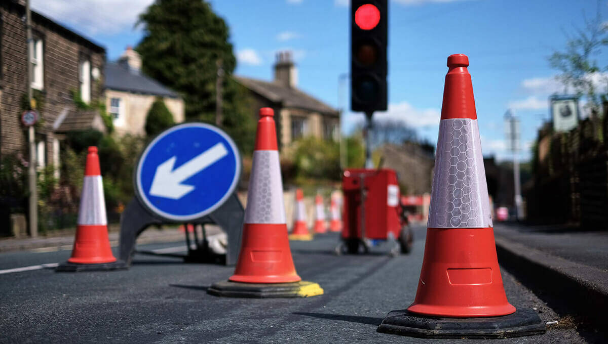
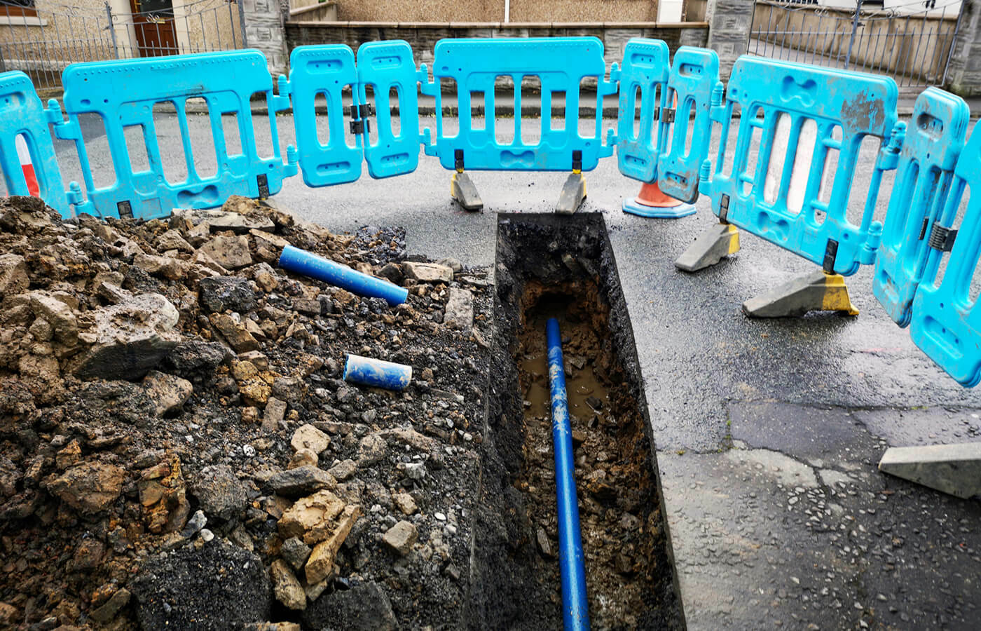
The National Underground Asset Register (NUAR) standardises, centralises, and makes available privately and publicly owned data from hundreds of organisations about the location of underground utilities assets. NUAR is a secure, auditable, trusted and sustainable platform. It will provide a consistent, interactive digital map of buried asset data, accessible by those planning and executing excavations.
The fundamental purpose of NUAR is to streamline the data-sharing process, reduce the risk of potentially lethal utility asset strikes and promote more efficient management and maintenance of underground assets. It will also lead to enhanced communication between parties and improve data quality.
Self-service access to assets – meeting a legal obligation
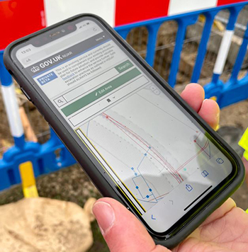
Statutory undertakers, delivery teams and contractors will be able to access information on assets directly, relieving the burden of response under the requirements of the New Roads and Street Works Act 1991.
Direct access for the drainage team at Durham is already demonstrating a quick and simple solution to planning and executing works. Brian Weatherall, Drainage and Coastal Protection Manager at Durham County Council said, “We’re using it probably every day, I’d struggle to find fault with it. If our old system was a horse and cart, NUAR is an F1 car.”
Advanced planning / investigation
Principal engineers and technicians are already reporting the potential benefits of using NUAR at the earliest possible stages of planning. Major projects will be able to start from a fully informed position, taking in all asset information and answering key delivery questions well ahead of the normal timescales.
Bob Wood, Technical Systems Manager at Darlington Borough Council said, “With the level of information available in NUAR, a works planner can better assess the cost and difficulty of carrying out works at a particular location. Early access to information helps with identifying what services may need diverting”.
Observations / responses tool
The platform is now open for users to respond and log observations on assets, for example amending location, citing depth and size, and recording additional information. This data will be sent to individual asset owners to review and update local records.
What next?
Ensure your authority’s assets are visible to NUAR users: Contact the engagement team via the:
NUAR data asks
Critical (Risk to life) |
Highly Desirable (Damage Prevention) |
Desirable |
Illuminated signs |
Gullies/culverts |
Manholes/Inspection Covers |
Traffic lights/signals |
Conservation Areas |
Access chambers |
Street lighting |
Sustainable Drainage Systems (SuDS) |
Wildlife Corridors |
EV charging points |
Section 50s (NRSWA) |
Brownfield sites |
Parking meters |
Ducting |
Archaeological sites |
CCTV |
Tree Preservation Orders (TPOs) |
Historical sites |
District Heating Systems |
Highways Structures & Drainage |
Section 58s (NRSWA) |
Buried cables |
Weather / traffic monitoring equipment |
Street trees |