

Share
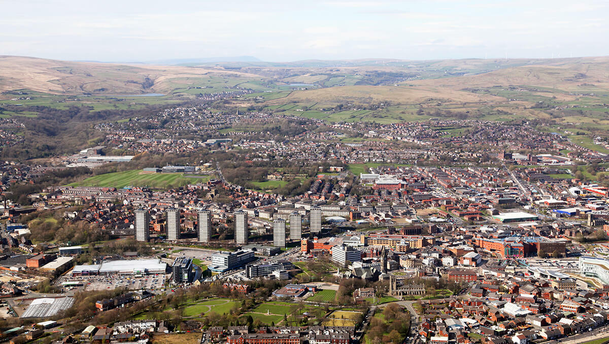
Rochdale is a metropolitan borough council and consists of 5 townships: Heywood, Middleton, Pennines, Rochdale North, and Rochdale South. This best practice case study explores how Rochdale has significantly benefited from having processes in place to record the life stage of all streets and properties in the authority. Where the property is in planning or demolition stage or somewhere in between, being able to record real world change aids the delivery of services and has significant benefits.
A well-developed process to capture data on property lifecycle ensures every department can access up-to-date and accurate information. In this instance, the Local Street Gazetteer (LSG) custodian at Rochdale also works within the Highways team. This unique insight enabled the development of a good working relationship with several team members and consider additional steps within the life cycle capture process. By working alongside the Local Land and Property Gazetteer (LLPG) custodian and other teams, they maintain a developed, efficient system for handling new developments, property changes and classifications.
There are so many benefits to an authority in accomplishing this. Decision-making and service delivery are enhanced, ensuring accurate records to keep ahead on elements such as development planning, revenue collection, housing, voting eligibility, and school registers etc. Public sector bodies and emergency services benefit from up-to-date data, improving efficiency and responsiveness. Additionally, authorities can streamline essential services such as waste collection, school admissions, and council tax management, ensuring they are accurately aligned with property changes. The same benefits can be seen highlighted in the Royal Borough of Kingston and Sutton’s work integrating the Unique Property Reference Number (UPRN) into their life cycle system here.
Making the process work
The process at Rochdale initially begins with weekly lists coming in from planning and building control. These highlight approved planning applications, and upcoming developments. The custodian is then able to refine this list; she can identify new builds, conversions, and changes of use. Developers fill in forms surrounding the details of a property. This includes a number of elements, such as:
- Post-box locations
- CCTV installations
- Planning application numbers
- Approval dates and officers
- Floorplans
- Site layouts for larger developments
The value in capturing this information at the very start of the process sets every application up for success in the future, by recording as much detail as possible.
Naming and addressing new developments
The custodian is then able to use the completed form to assign addresses to new properties. When designating street names, these can also occasionally be chosen in collaboration with developers. Often, it is attempted to tie these into local history.
Once these are approved, the data is circulated around a list of twelve relevant parties. This includes developers, the Section 38 engineer, and the LLPG officer – to ensure consistency across all records. Having multiple parties notified at each stage acts as a failsafe; it reduces the risk of errors or missed updates.
Mapping and integration
The LLPG officer at Rochdale then maps confirmed address locations, integrating them into the system. Sometimes site plans may arrive without accurate scaling, which means additional work is needed to ensure everything is aligned correctly. Once this is finalised, the same information can then be mirrored in the LSG. This means all systems are updated together.
With regard to developments likely to be adopted by the council, a record is created and cross referenced against Council Tax (CT) data and Valuation Office Agency (VOA) records. The process follows three key phases:
- Base layer setup – the initial mapping and data entry
- Prospective status – once the curb lines are added and constriction begins
- Adoption or private street designation – final decisions based on Section 38 completion
The custodian then updates the highways register with private street records. This includes keeping a record of Section 38 agreements. Once a development is formally adopted, the maintenance team is notified for inspections, and the LLPG is updated regarding the final status.
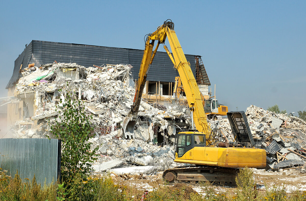
Some developments may fall stagnant due to external factors or financial challenges. An example of this comes through where one site was purchased for an apartment complex but abandoned before completion. While construction is halted on a development, the site record remains in the highways register to ensure that, if work resumes, all previous information remains available.
Final thoughts
The success in Rochdale’s data life cycle comes through the regularity of updates across several parties. The value in building strong relationships across departments, creating clear processes to ensure all parties stay informed. Proactive communication is an enabler for success. By maintaining strong relationships between planning, highways, and LLPG teams, the process has become far more efficient and reliable.
The key takeaway for any authorities looking to cultivate a similar successful life cycle is simple: invest in these relationships. The heart of this work is in communicating with relevant parties and ensuring that every aspect of a property’s development is properly tracked and recorded. In doing so, councils can maximise their data-management potential and prevent any future problems/delays from the outset.

