Share
Durham is a largely rural unitary authority in the north east of England. Following the 2022 ‘Response to street and roadworks further reforms’ from the Department for Transport (DfT), the number and nature of Traffic Sensitive Streets was due for review. This case study highlights some of the effective methods of reviewing sensitive streets data.
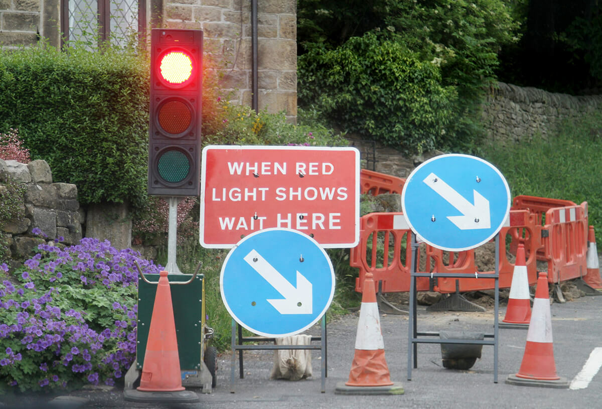
To appreciate the relevance of this work, it is important to understand the classification of traffic sensitive streets. It is possible for certain streets to have more protection over them due to the volume of traffic, both vehicular and pedestrian at different times of day. When utilities request permission to excavate roads, there are a few more complexities. There are various requirements for a street to be classified as traffic sensitive. Some streets require more protection and a more developed plan for closure, so more co-ordination goes into the organisation. In most permit schemes, a premium is payable to close a traffic sensitive street. This financial incentive encourages works to be completed quicker, to minimalize the cost, which in turn limits both the time the streets is closed as well as the effect on public use. This information is held within the Local Street Gazetteer (LSG), a central database for street information, so all relevant departments are able to view one version of the street they’re working on.
The Process
Durham County Council was due to review their traffic sensitive streets after a three-year period so incorporating the new DfT requirements was the next step. Within their previous review, they had over 800 sensitive streets listed; this number has gone down by around 200. Most will have been altered as a result of winter gritting routes, which were no longer included. Many of those streets will have been in areas that were not heavily trafficked, and have little need for traffic sensitive classification. Often minor details such as needing to be gritted in cold weather, or being on a slight incline, did not qualify to be recorded as traffic sensitive.

Starting in the summer of 2022, Durham took the data from the LSG, including the current list of sensitive streets, and put this into an excel sheet. This resource contained:
- a list of streets
- USRNs
- the current traffic sensitive streets
1. All critical signalised junctions were marked, based on previously known road layouts and how they had altered, as well as new junctions. These came most frequently where new road layouts presented new junctions. Critical junctions were identified on this spreadsheet with either a 1 or a 0, any data categorised with a 1 would be traffic sensitive.
2. Traffic counts were obtained for remaining streets using an internal system and the DfT road traffic statistics website for open-source data. This count reached 500-600 depending on the type and width of the road. The internal system, although similar to the DfT data, was found to hold more detail to be crossmatched to junctions and USRNs.
3. Bus route information was the next set of data to evaluate. This was made easier by the pre-existing website Durham already provides, durham.gov.uk/busmap, which was then used to identify and map town centres and main roads for bus routes. Appointing the routes within which more than eight buses travelled each way, with a focus on town centre and main roads to breach that number of buses.
4. Emergency services known primary routes and Heavy Goods Vehicles (HGV) diversion routes were also examined to see if they are compatible. For any identified gaps within these routes, nominally an A road through a rural area, Durham sought agreement with statutory undertakers with the streets.
Adding each of the valid criteria to the spreadsheet enabled a simple consultation to take place: Anything designated with a ‘1’ met the criteria to be classified as a traffic sensitive street. This simple and practical system allows for much more efficient cross matching, filtering out unnecessary data.
The consultation went to statutory undertakers / utilities, the DfT, emergency services, bus operators, internal departments, as well as the public through the county consultation website.
Results
“Overall, the process took roughly three or four months of work between four members of staff, working on it as schedule allowed.” The total number of Unique Street Reference Numbers (USRN) stands at 22,000 – rights of way contributing to 4,500. The new total of traffic sensitive streets stands at 615. This will impact Durham residents positively by contributing to the smooth running of the key road network and will help keep interruptions to a minimum.
The Insights team at GeoPlace is well-placed to provide a full review of Traffic Sensitive Streets and Permit Schemes on behalf of local highway authorities. Contact Richard Groombridge in the first instance via [email protected]
Notes
- Government response to street and road works further reforms - Department for Transport, May 2022
- Code of practice for the co-ordination of street and road works - Department for Transport, March 2023