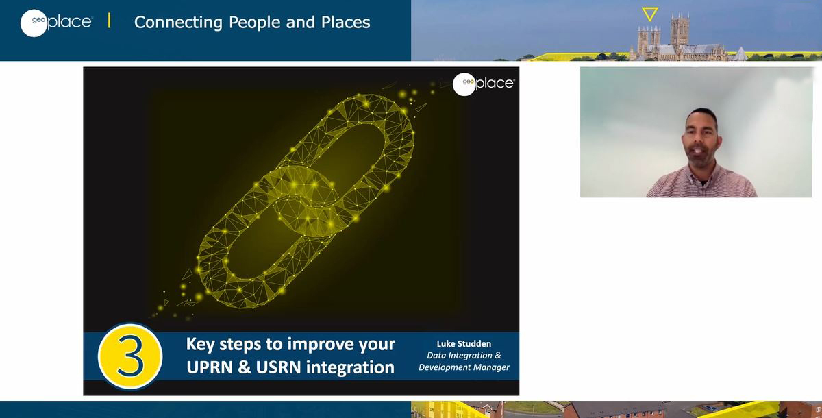
At the GeoPlace 2022 conference, this session focussed on integrating data using UPRNs and USRNs, from a local authority perspective.
The speakers:
Key steps to improve UPRN/USRN integration, procurement advice, establishing your current integration footprint, and developing an integration roadmap
- Luke Studden, Data Integration and Development Manager, GeoPlace
Providing the evidence – a Street view
- Sophie Birchall-Rogerson, Senior Management Information Systems Officer
- Andrew J Wilkinson, Head of Neighbourhood Services, Conwy County Borough Council
Addressing: Impossible!
- Tracy Lister, Strategic Geospatial Development and support manager from Walsall Council
- Matthew Banks, Senior Geospatial Support and Development specialist

Integration of UPRNs and USRNs within a local authority is without a doubt a challenge. Rather than a distinct task, it is an ongoing process that requires constant attention, time and resources to ensure integration is being maintained effectively. In this session, Luke Studden, Data Integration and Development Manager at GeoPlace outlined three key areas that local authorities can focus on, to alleviate some of the typical integration headaches. These comprised of:
- creating effective procurement statements – to ensure new systems being procured can handle the complexities of address and street data
- establishing your current integration footprint – taking a step back and understanding how fully embedded the UPRN and USRN are
- developing an integration roadmap – identifying what needs to be done to improve integration and how to prioritise the work.
Luke began by sharing a key statistic that emphasises the challenges around integration. Only 44% of local authority systems integrate effectively with UPRN.s The other 56% either don’t use the UPRN, or they allow manually entered addresses without it, requiring manual intervention to enable integration. In an ideal world, bearing in mind UPRNs are now mandated by government, 100% of all systems should be using them.
The cause of the problem is two-fold. Either no handling criteria is included in the software procurement evaluation process, or vague procurement criteria is included but is left open to interpretation. The impact is the inevitable need to add missing functionality through a range of costly and resource intensive means – but these problems can be avoided.
The first key step is to include Address and Street data criteria in the procurement process. To overcome the complexities of this step, GeoPlace has created a procurement statement generator tool which provides all the information necessary for address-based system requirements (a street-focused version is to follow). The procurement statement generator is a powerful tool that can safeguard and promote address integration. With five simple questions, the tool generates tailored procurement statements, suggests data products, and defines how a system should handle address data. The tool tackles four key themes: consumption of data, updating data, exposure of data, and exporting data.
The second step involves taking a step back to establish an integration footprint, understanding how much of the wider local authority software ecosystem is integrated to address and street data, providing a baseline of the current level of integration.
The third step involves developing an integration roadmap – identifying what needs to be focused in order to improve integration. . This involves adopting a 360-degree view of address and street data utilisation within a software system and prioritising the service area with the most critical need.
Luke also shared some useful tips to help break down barriers and build support internally for Authority Address and Street Custodians :
- remove complexity – don’t use acronyms, talk in plain-English and be specific to the department, show them the art of the possible and benefits for them if they integrated with the data.
- raise general awareness around the benefits of address and street data by using GeoPlace published case studies.
He also stressed the importance of remembering that authorities are customers, and that software suppliers need to engage with local authorities on their evolving data requirements in order to provide current, functional and efficient solutions.

Sophie Birchall-Rogerson, Senior Management Information Systems Officer, and Andrew J Wilkinson, Head of Neighbourhood Services at Conwy County Borough Council, then introduced a panel session presenting how data linked to the LSG is fundamental to decision making across key frontline services.
This session provided detailed insights about environmental asset management, underpinning the operational management of trees suffering from Ash Dieback Disease across the highway network and council land. In addition, Conwy demonstrated how evidence-based decision making has been adopted to enable a risk-based approach to highway maintenance capital schemes.
In a parallel panel session, Tracy Lister, Strategic Geospatial Development and Support Manager, and Matthew Banks, Senior Geospatial Support and Development Specialist at Walsall Council revealed the ‘good, the bad and the ugly’ side of Walsall’s experiences with suppliers, as well as the internal resistance realise the benefits of the single ‘golden thread’ that ties all records together, the UPRN.
Matthew and Tracy explained that, as a council – as all councils do – the majority of services delivered by Walsall Council are to a property or a person within that property. To identify where those services are delivered and tie records together, it’s necessary to spatially map out or report on locational data.
The UPRN holds specific coordinates to a specific addressable feature, and by holding the UPRN in any back office system, data is exportable, reportable and mappable. The mission at Walsall Council is to ensure all existing and new back-office systems hold the UPRN and standardised addressing from a single source of the truth, the centralised address gazetteer.
However, even though Standard ITT is sent procurement, things have gone horribly wrong in the past. Suppliers have answered yes to integration, but forget to mention it can cost around 20k+ in additional costs to achieve this or plan on charging us for an external gazetteer. It can be costly if commitment isn’t secured to integration during the tender process, or the right questions aren’t asked of the right people during the tender process,or if the SMEs are not involved in the tender evaluation process.
Find out more in our Walsall case study - An integration story: improving services by integrating the LLPG into back-office systems at Walsall Council
Watch the recordings of this session on the Day 2 tab on the conference agenda


