This presentation explains how Unique Property Reference Numbers (UPRNs) underpin reliable data linking across the public sector.
It explores how addresses are created and managed, why UPRNs are mandated, and how Ordnance Survey products such as AddressBase, OS NGD Address and the OS Places API can be accessed and used.
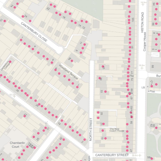
Through practical examples, the presentation shows how UPRNs enable accurate joining of address, building, land use and service datasets to improve operational efficiency, data quality and decision-making. The session also highlights tools, licensing considerations and emerging initiatives supporting wider UPRN adoption across government.
Presenter: Nathan Davis, Geospatial Consultant, Consultancy and Technical Services, Ordnance Survey
Download
Slides for 'UPRNs in practice: accessing, using and applying address data
Download slides for the webinar