Share
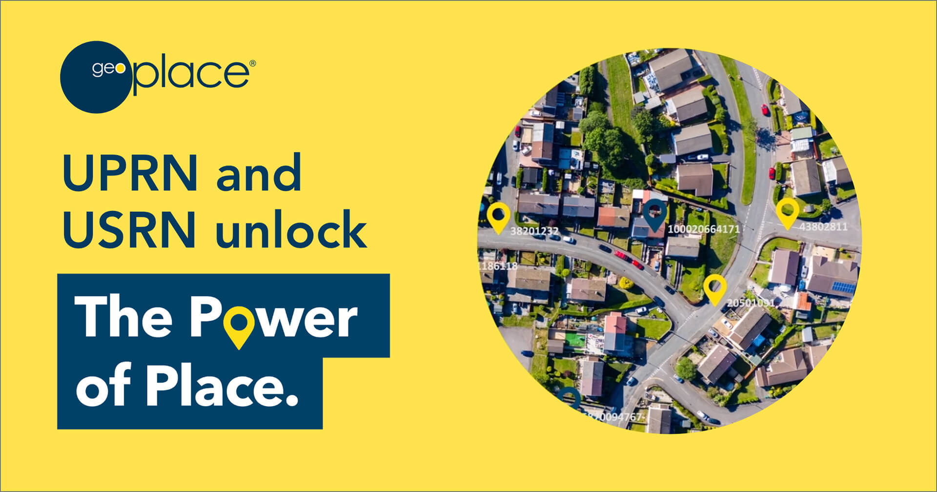
From 1st July, Unique Property Reference Numbers (UPRN) and Unique Street Reference Numbers (USRN), which are the unique numerical identifiers for UK property and street locations, will be the standard for central government and NHS organisations for referencing and sharing property and street information. These unique identifiers are now openly available and royalty free for use on Open Government Licence (OGL) terms.
Mandating the use of UPRN and USRN location data in this way is set to revolutionise the way that organisations use and connect data across all service areas, within and between organisations. Each identifier is a golden thread that leads to greater accuracy, cost savings and increased productivity.
All applications that use data sets containing properties and streets must use the correct identifiers and should be verified via a trusted source, such as GeoPlace. By using these standards in data, public sector organisations will be able to:
- accurately identify property and street location information
- link information in different datasets
- share consistent data
- reduce errors when exchanging address information between systems
- link to definitive address and street information contained in Ordnance Survey products.
The identifiers provide organisations delivering critical services with the reassurance that they are working with the most up to data and accurate information. This will lead to greater collaboration among services and organisations.
On behalf of local authorities, GeoPlace has created FindMyAddress.co.uk and FindMyStreet.co.uk to provide a central point for queries on open UPRNs and USRNs and enable people to find out what their UPRN or USRN is.
- FindMyAddress makes it possible to find official addresses, UPRNs and locations for every property in England, Scotland and Wales
- FindMyStreet, which has been funded by the Local Government Association, enables users to search for USRNs, street names and locations in England and Wales and find out the maintenance responsibility of the street.
Nick Chapallaz, Managing Director of GeoPlace commented: “The societal and economic benefits of these simple numbers representing addresses and streets are almost limitless. To be 100% sure two parties are dealing with the same street or property can be critical. Consider the impact on emergency services getting to the right place; health services pinpointing outbreaks of COVID; tax agencies combatting fraud; banks qualifying mortgage applications instantly; and utilities digging up the right road in the right place at the right time. These are all directly enabled by these identifiers, coordinates and related street and address data.”
Nick continued: “We’re excited, not just by this announcement but by the backing and determination of government through the Geospatial Commission to realise the value of geospatial data and investing to make this happen.”
Thalia Baldwin, Director of the Geospatial Commission said: “Better data and improved access is crucial to our recovery and growth. Improving access to Ordnance Survey’s MasterMap, combined with the release of the core UPRN and USRN location data identifiers that form the golden thread that links activity in a range of sectors - from housing, transport and retail to emergency response, public health and environmental impacts - to outcomes that support increased productivity and economic value.”
As the originators of UPRNs and USRNs, GeoPlace is well placed to advise organisations on how to make the most of this development. GeoPlace has been matching, cleansing analysing UPRNs and USRNs for 20 years, making its team of data experts the UK’s foremost location data experts on these identifiers. Following the implementation of the mandate, GeoPlace is providing advice to businesses, organisations and public sector departments on how to use them to increase efficiency and reduce cost.
For more information visit www.geoplace.co.uk
ENDS
About GeoPlace
GeoPlace is a joint venture between the Ordnance Survey and the Local Government Association. It provides trusted excellence in spatial data management. GeoPlace creates and maintains large spatial address and street datasets to an exceptional standard of currency and accuracy, building and developing a data infrastructure that supports address and street information users across the public and private sectors.
About UPRNs and USRNs
A UPRN is the unique identifier for every location with an address in the UK. Coordinated by GeoPlace it is allocated by local authorities who have the statutory authority to name and number every street and property, and Ordnance Survey who identify objects on the landscape which may otherwise not attract an address. It provides a comprehensive, complete and consistent identifier throughout a property’s life cycle – from planning permission and street naming and numbering through to demolition.
The Unique Street Reference Number (USRN) is the unique identifier for every street in the UK. Coordinated by GeoPlace the USRN is allocated by local highway authorities and forms the unique identifier within the National Street Gazetteer (NSG) - the definitive source of street information utilised in the notification of street and road works by statutory undertakers wishing to carry out work on or around streets in England and Wales. The USRN is a key field within every record held in a council’s Local Street and Gazetteer (LSG), the council corporate list of every street within its boundary.
The UPRN, the unique identifier for each address in the AddressBase® range of products from Ordnance Survey, can help link internal datasets together and share information with other organisations that use the UPRN. The USRN is the unique identifier for every street in the UK. The USRN exists within the OS MasterMap® Highways Network products and the NSG (National Street Gazetteer), which is the definitive source of street information used in the notification of street and road works by utilities and highways authorities needing to carry out work on or around streets in England and Wales.