Share
By Gayle Gander, Head of Marketing at GeoPlace

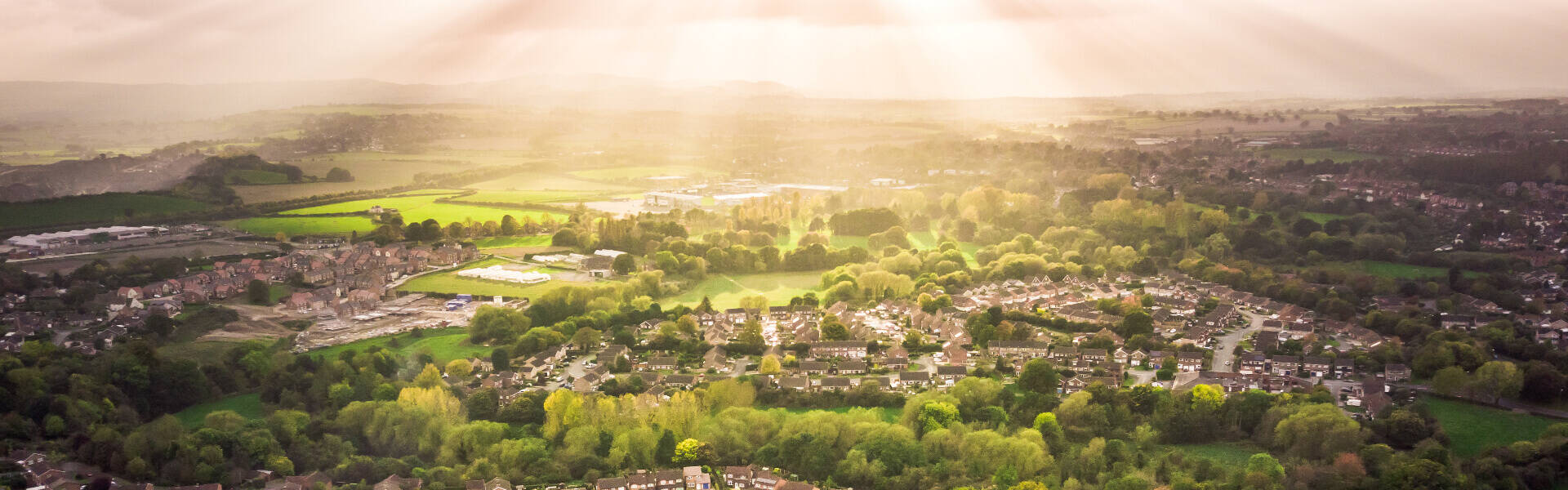
Geospatial data, which is data linked to location, underpins Great Britain’s public services such as emergency planning, building our homes, protecting our environment, supporting our transport and helping our security services to keep us safe. Today, the Geospatial Commission has announced that it is increasing its location data offer to the public sector across England, Scotland and Wales, starting from 1 April 2020.
Any public sector organisation, ranging from health and emergency services, town, parish, and community councils through to central government departments can sign up via Ordnance Survey to access and use the data, free at the point of use. Known as the Public Sector Geospatial Agreement (PSGA), it will be delivered by the national mapping agency, Ordnance Survey. Organisations that are already a member of the previous Public Sector Mapping Agreement (PSMA) automatically becomes a member of the new agreement unless they opt out.
Alongside this announcement, Government has also made provision for UPRNs and USRNs to be made available under Open Government Licence from 1st July 2020. At GeoPlace we wanted to outline what UPRNs and USRNs are, and why this change is welcomed.
About UPRNs
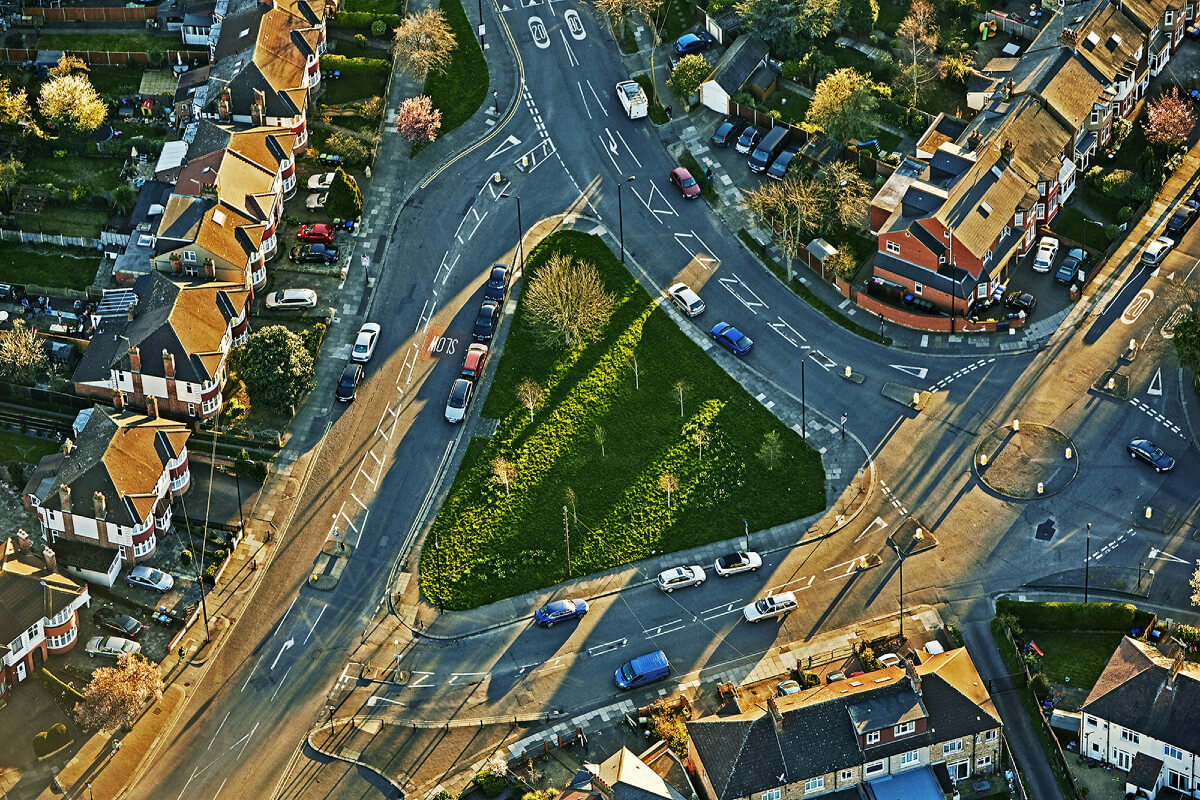
A Unique Property Reference Number (UPRN) is the unique identifier for every addressable location in Great Britain.

An addressable location may be any kind of building, or it may be an object that might not have a ‘normal' address – such as a bus station or an electricity substation. UPRNs provide every property or object with a unique identifier throughout its lifecycle, from planning through to demolition. In the same way individual people have National Insurance numbers, these codes are used to identify unique physical locations in Great Britain.
Local authorities use them to identify individual properties and streets. Ordnance Survey uses them to identify things that don’t have a ‘normal’ address on a map – like a pond, electricity substation or a communications mast.
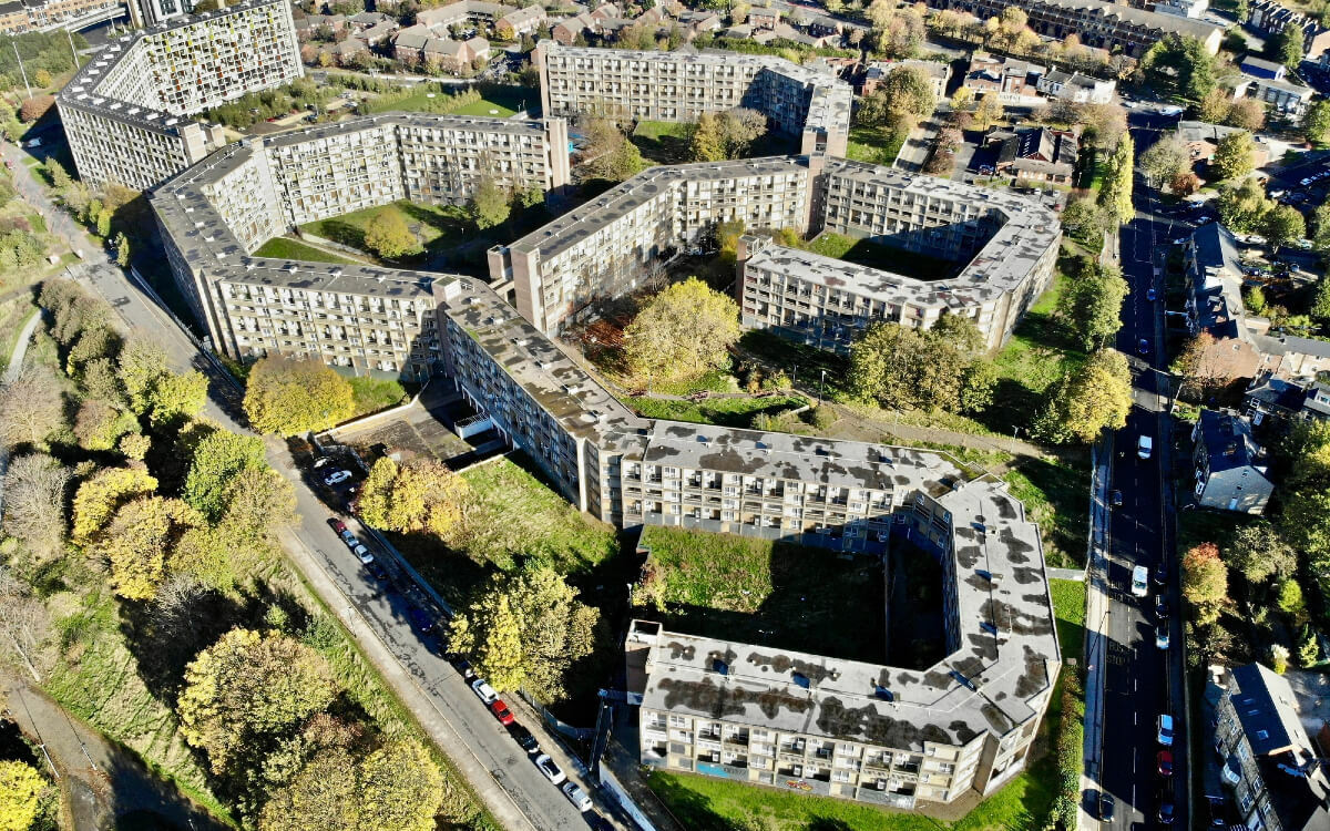
Every UPRN is different. Each one is linked to the same object for the whole of that object’s life. From the planning stage, of a house for example, right through to demolition and archive. UPRNs can also be allocated a ‘sub property’ level. So, a block of flats will have lots of UPRNs all stacked up, one on top of the other. This makes the UPRN incredibly useful to the emergency services, and to all kinds of companies like energy providers and insurers who need to identify properties at a very granular level.
UPRNs have been around a while. They were first utilised by local authorities more than two decades ago. Nowadays, UPRNs are allocated by local authorities and by Ordnance Survey from a range provided by GeoPlace. Local authorities have the statutory permission to name and number every street and building in Great Britain and also allocate UPRNs to other objects. Ordnance Survey identifies features in the landscape that might not have a ‘normal' address, and includes them in its AddressBase® products.
Because it never changes, the UPRN is a very valuable asset. A UPRN guarantees which property or object is being identified. A UPRN also makes it possible to identify a property without needing to use personal data – the names and details of any people living there. And as a simple code made of numbers, it is easy to share and use a UPRN in any kind of dataset – which also makes it easier for organisations using different data to link those datasets, confidently.
More recently, UPRNs have caught the imagination of the people at the highest levels of Government. At the GeoPlace conference in 2016, the Rt Hon Matt Hancock MP, the then Minister for Cabinet Office said:
“The UPRN is the jewel at the heart of the addressing system. It links address data across a diverse range of systems and services. The UPRN facilitates greater accuracy and immediate data sharing and matching — delivering better services and better outcomes for citizens.”
Matt Hancock MP
Identifiers such as the UPRN are at the heart of how data can be effectively published, retrieved, reused and linked. UPRNs are increasingly recognised as a tool for transformation. They remove error in data exchange and communication, and deliver efficiency gains in operational processes. Using the UPRN means that organisations can continue to hold their address and information in their existing formats but, by adding a single field containing the UPRN or USRN, it becomes possible to link matching records in different databases together.
Sanja Milojevic, senior business analyst for Camden’s Shared Digital Service with Islington and Haringey said:
“Using the UPRN means that we can match records with greater success. The aim of the golden record is to cherry pick the best data from different sources and assemble a record based on what we believe is the best data we hold, and the UPRN is one of the top ones. It is also an essential tool for cleansing and de-duplicating data held in source systems. We are putting a huge effort into improving the quality of data across the organisation as this will lead us to being able to provide better services to our residents.”
Research has shown that public sector organisations that cannot link together datasets between their own internal IT systems find it almost impossible to collaborate with other organisations with their data. At the GeoPlace conference in 2017, Eddie Copeland, the then Director of Government Innovation in the Innovation Lab at NESTA said:
“I am now convinced that any public sector organisation that wants to use data for better outcomes needs to connect together its spatial data - using UPRNs is an easy way to match records. There are amazing things you can do by matching records. If you don’t have the UPRN you are making your life impossibly difficult. The future of local government, the future of public services, the future of our communities depends on this - connecting data for better outcomes. For that you need UPRNs, they are absolutely vital.”
The USRN
The Unique Street Reference Number (USRN) is the unique identifier for every street across Great Britain. The USRNs for England and Wales exists within the National Street Gazetteer (NSG). The NSG is the most authoritative source of information about streets in England and Wales and is a compilation of data from 174 highway authorities’ Local Street Gazetteers. The process to provide information about USRNs in Scotland is managed by the Improvement Service, and in Northern Ireland by the Department for Regional Development (Northern Ireland).
The NSG was created by local authorities to coordinate streetworks and help minimise the disruption caused by streets being dug up by utilities and highway authorities.
The USRN is a key field within every record held in a council’s LSG, a corporate list of every street within its boundary. USRNs and associated data are also a key component in the AddressBase suite of products – you can’t create an address without street information!
USRNs are supplied to Ordnance Survey to help in the creation of the OS MasterMap® Highways Network. The USRN is integrated with the detailed definitive geometry from Ordnance Survey, creating an accurate, navigable road network dataset for Great Britain.

For highways authorities and statutory undertakers, the USRN is a way to ensure works on the street can be planned more effectively. For the public, this means less traffic congestion, increased safety and lower levels of disruption to road users.
The USRN:
- links authoritative information, and the requirement to provide this information is embedded in legislation
- provides an ideal evidence-base for performance measurement and efficiency
- enables the data needed for accurate planning; streetworks and reduces the costs of collaboration.
USRNs are enablers. Everything mentioned above for UPRNs, also holds true for USRNs. Here is an example of how they are being utilised in a local highway authority.
Conwy County Borough Council utilised USRNs to deliver a digital transformation project across the council, bringing together three departments; Highways and Infrastructure, Environmental Services and Property Services under one banner; the Environment Roads and Facilities Department, whose remit includes almost every aspect of the council’s frontline services.
USRNs were used to link together datasets to support:
- customer services: bringing together datasets to provide a single view of an issue or request
- Mobile technology for highways inspections and works ordering: logging events against the lifecycle of a request
- Financial management: breaking down budgets and expenditure to the road classification and network
- Street lighting: each street light asset has been linked to the nearest USRN, providing instant geographic visualisation of the asset network
- Gully maintenance: verifying locations and allowing inspections and customer service requests to be helped in one place
- Open spaces: litter bins, dog fouling, fly tipping, park and gardens are all managed and linked using the URSN, giving greater consistency and ease of reporting across departments
- Customer portals: the Customer Service Advice Teams can click on a map and see immediately what data is held against the USRN. Customers can also use the portal to report on every centrally managed service, including flood risks and street lightning requests. The council has already seen an increase in the number reported online as opposed to over the phone.

Sophie Birchall-Rogerson, Senior Management Information Systems Officer at Conwy Council said:
“Every request for Conwy County’s operational services is now recorded against a USRN. As a result, service delivery and KPIs have significantly improved across the board, with more requests being verified and plotted accurately in the correct location first time. As a result the council is saving significant amounts of administrative and officer time. However, perhaps the most important outcome for the council is the way in which location-linked Customer Portals have been embraced and adopted by the public. This demonstrates the council’s commitment to listening and resolving problems, to being transparent and effective in the management of assets and allocation of resources. All enabled by the USRN”.
Creating value with identifiers in an open data world
Back in 2016, Thomson Reuters and the Open Data Institute (ODI) published a report on how identifiers create value and why they are important for data management. The report discussed important ways in which open identifiers are fundamentally important in forming connections between data:
“The lack of identifiers, or the poor use of them, stifles the power of information gained from linking multiple datasets together”
And
“Identifiers are fundamentally important in being able to form connections between data, which puts them at the heart of how we create value from structured data to make it meaningful”.
GeoPlace, the Local Government Association, Ordnance Survey, Scottish Improvement Service and the Geospatial Commission have announced that the UPRN and USRN will be available under Open Government Licence from 1st July 2020. Additionally, the Open Standards Board has mandated that these identifiers will now be the standard way of referencing and sharing information about properties and streets across government to improve services and outcomes for citizens. See all of these announcements here.

UPRNs and USRNs will become ever more effective as their use in systems and datasets grow. Public sector service designers and architects are starting to incorporate the identifiers into relevant designs, and we expect to see a profusion of uses over the next year. GeoPlace will be highlighting some of these at the GeoPlace annual conference in October.
These changes mean that stable, reliable location identifiers are now widely available to enhance the value and use across many datasets, not just within the public sector, but also across financial services, delivery and logistics, customer billing, address verification and other location-based services, in essence linking people to places and services.
The Thomson Reuters and ODI report highlights how the potential of identifiers can be unlocked by web technologies and the growing world of Open Data, a world which UPRNs and USRNs can now add value to.
For a more technical look at the world of land and property identifiers, see our blog ‘Persistent and well-behaved identifiers’.