Share
Freedom Fibre is using GeoPlace’s DataVia API to plan the rollout of its full fibre, high-speed broadband. Freedom Fibre is an Alternative Network (AltNet) committed to transitioning from traditional BT copper connections to cutting-edge full fibre technology with the aim of revolutionising phone and internet access in the UK.
![]()
Freedom Fibre is using GeoPlace’s DataVia API to plan the rollout of its full fibre, high-speed broadband. Freedom Fibre is an Alternative Network (AltNet) committed to transitioning from traditional BT copper connections to cutting-edge full fibre technology with the aim of revolutionising phone and internet access in the UK.
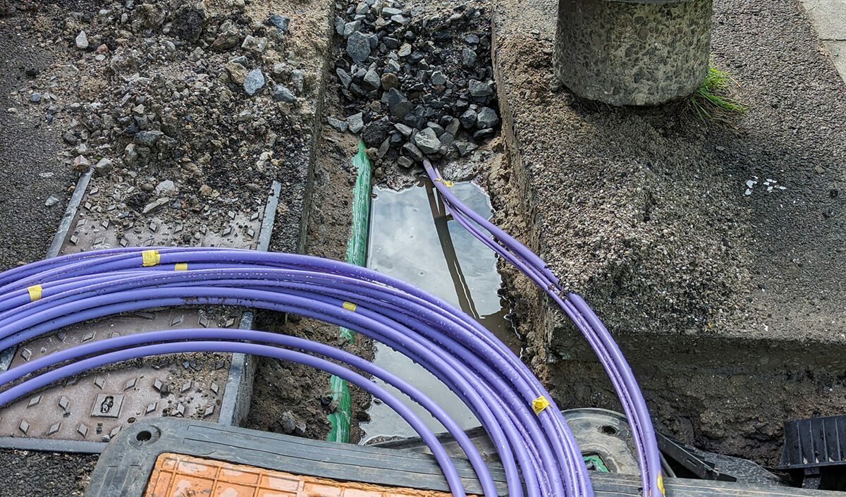
Freedom Fibre prioritises the utilisation of existing BT infrastructure such as poles, chambers, and ducts for fibre deployment. However, the reality often necessitates new infrastructure installations on private land, requiring permissions known as wayleaves from landowners—a process notorious for its inherent delays. Early identification of private roads in the planning phase equips Freedom Fibre with the knowledge to either circumvent such areas or initiate the wayleave process, significantly reducing construction timelines or allowing ample time for redesign.
Working with GeoPlace's DataVia API has proven transformative for Freedom Fibre. DataVia provides real-time access to both public and private road data within Freedom Fibre’s internal design GIS, offering invaluable insights into potential wayleave costs for upcoming projects. As a result, Freedom Fibre has witnessed substantial improvements in service efficiency and customer support since implementing DataVia.
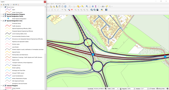
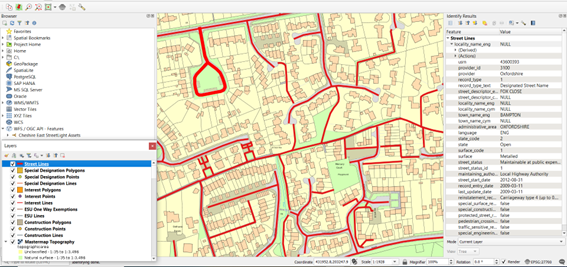
GeoPlace’s DataVia API offers a seamless solution for accessing comprehensive dynamic street data sourced from the National Street Gazetteer (NSG) in England and Wales. This powerful tool caters to a wide variety of businesses reliant on location-based data who need to understand road maintenance responsibility. These include utility companies, logistics companies, delivery services, and those needing location analysis.
DataVia was developed in response to the evolving demands of the industry, including the National Underground Asset Register (NUAR) which requires instantaneous access to dependable, precise, and authoritative street data, without the hassles of managing bulky CSV files from the NSG.
DataVia provides users with access to the entire NSG dataset. This means users can tap into the most authoritative street information, encompassing:
- daily updates
- lifecycle details
- geographic identifiers such as street names, towns, and localities, as well as Unique Street Reference Numbers (USRNs)
- nationwide or area-specific street information-
- access details
- usage restrictions
- additional data like traffic sensitivity, special engineering challenges, maintenance responsibilities, and construction information.
The service was launched by GeoPlace in April 2023 and the underlying data is well-established, authoritative, and trusted. Future enhancements include improving the data currency for quick integration of new submissions into the DataVia service within 24 hours and enhancing the representation of Additional Street Data (ASD) and street change intelligence, such as identifying new streets and adoptions.
The Local Government Association (LGA) regards the use of up-to-date street and address data as a fundamental part of local authority services, and encourages councils to use it in all their systems to derive efficiencies and insight. Centrally funded by the LGA for local authority use, DataVia is now available to councils for their area, free of charge
DataVia is revolutionising how organisations access and utilise street data.
For more information, please visit:
• Contact us at [email protected]