Share
The Institute for Name-Studies is helping local authorities and developers preserve place name heritage by integrating historical research into modern street naming policies and practices.
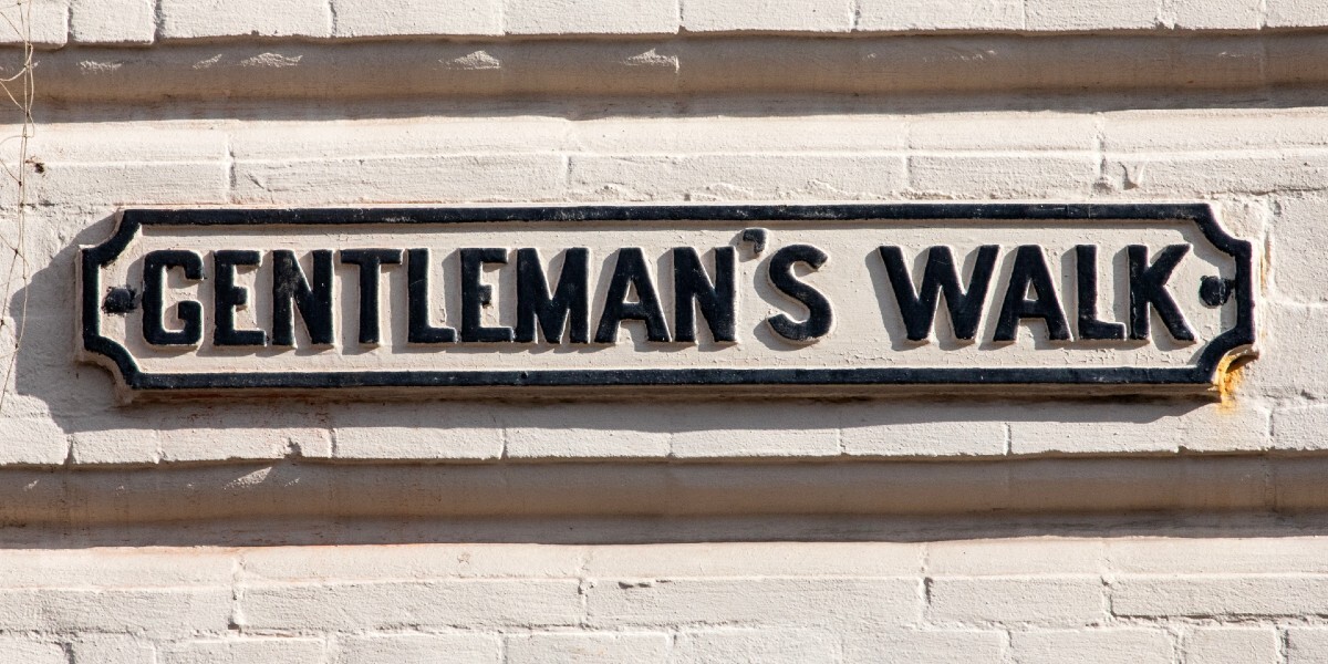
Place names as portals to the past
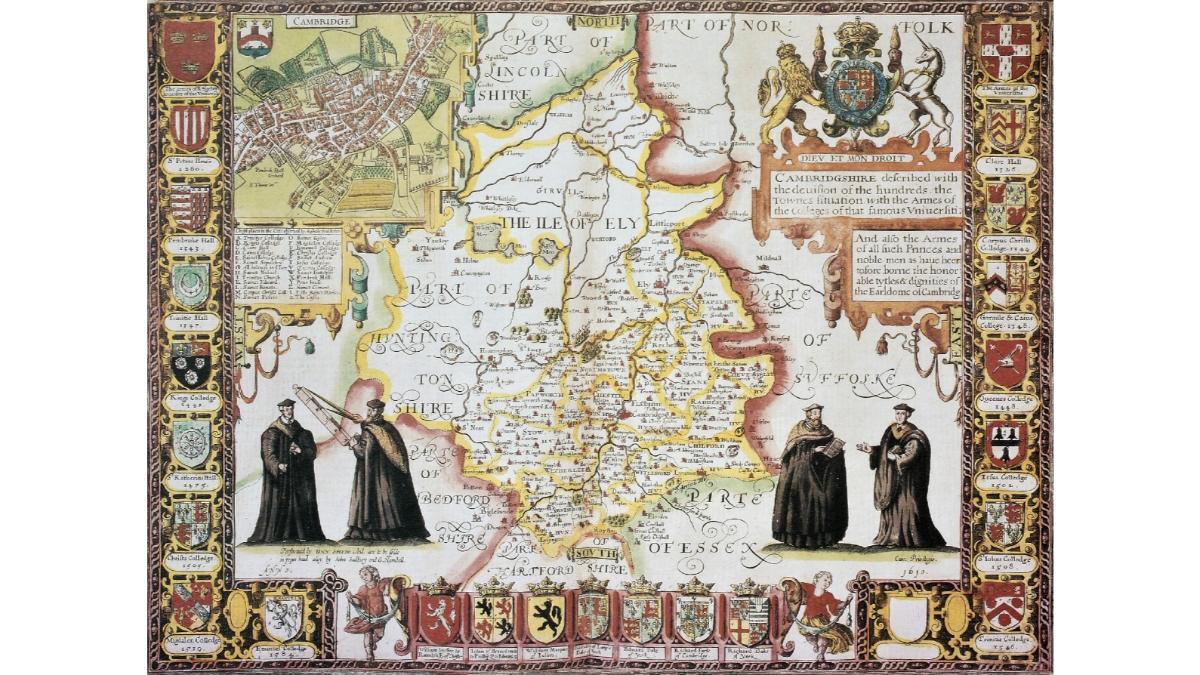
The Institute for Name-Studies (INS), home to four dedicated permanent members of staff, is one of the UK’s key centres of expertise on the etymology of place-names. Their work explores how historical names can reveal social, linguistic, and environmental transformations across time. By understanding how they originated and evolved, place-names help paint a detailed picture of local history, from lost dialects, to changes in land use.
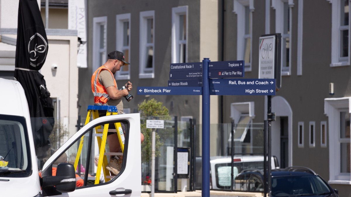
The INS has recently turned its attention toward assisting in street naming and numbering (SNN). An earlier collaboration with Nottingham’s SNN officers, and subsequent introduction to GeoPlace marked their entry point into this space, helping to bring historical context into modern naming practices.
A pivotal moment came in 2024 when the INS were first introduced to GeoPlace, and this conversation unearthed a shared passion for making the cultural significance of names more accessible to the public. It also surfaced a crucial tension: while national policy encourages standardisation, there is a strong human desire for individuality and meaning in naming new developments. Developers, too, are increasingly seeking names that are inspirational rather than generic.
The INS team saw this as a moment of opportunity to support local authorities and developers with evidence-based naming guidance rooted in regional history. With university funding, they began a project to put this idea into action.
How it began: A collaborative, multi-authority pilot
The project kicked off with a webinar to gauge interest among local authorities expecting future housing developments. The response was enthusiastic, with numerous councils eager to get involved. Ultimately, four diverse authorities were selected to pilot the approach: Derbyshire Dales, Mid Sussex, Plymouth, and Cheshire East, each offering a unique blend of urban and rural settings, planning timelines, and policy needs.
The INS worked closely with each authority to produce concise, evidence-based reports that summarised the historical and etymological significance of existing place names in their regions. These reports incorporated data from English Place-Name Society Surveys, historical maps (including tithe maps), and dialect research. Each report concluded with a thematic overview, highlighting patterns, locally distinctive terms, and guidance on how to honour that history in future street names.
Reports were tailored to each authority’s needs and development schedule—from a rapid turnaround of 12–14 hours in, to several weeks of research for larger-scale plans. In one instance, the team went further, conducting extra research to develop a replicable methodology for future projects.
A significant moment came during this year’s GeoPlace conference, where INS hosted a very popular roundtable discussion session. A follow-up webinar drew 80–100 attendees, and the INS shared a resource toolkit—a one-stop collection of historical research tips, policy alignment guidance, and naming examples. Feedback was overwhelmingly positive.
That toolkit has now been made available via an INS-hosted website, which can be found here, designed to be an evolving resource for local authorities, parish councils, developers, and the public alike.
The impact: building policy and community connection
This project has had a deep and lasting effect—not just on how names are chosen, but on how they’re understood and valued.
Two of the four pilot authorities are rewriting their street naming policies, embedding the importance of historical context into formal processes. The others have added the resource to their public websites and are already using it in discussions with developers.
One of the most exciting outcomes has been the empowerment of SNN officers. With access to credible, academically backed research, they now feel more confident when discussing naming proposals with developers and the community. The dynamic between local authorities and residents has improved too, as naming becomes a point of shared heritage rather than bureaucratic procedure.
A proposed annual forum for ongoing training is in the works, designed to help SNN officers stay connected, informed, and inspired. There's a strong desire for continued learning and collaboration.
The GIS dimension of the project could also be of great use in the future. INS provided coordinates and spatial context for names, giving authorities a way to visualise names geographically, avoid duplication, and prioritise historically grounded options in the areas where they’re most relevant. The records can easily be transformed into GIS point data.
As the project concludes, the INS can reflect on the successes of this project with pride and momentum for the future. Not only did they demonstrate that historical research can inform modern policy—they also showed that this work can always add value, no matter the scope or timescale.
This work is a testament to the power of names: not just as labels, but as living links to our collective past.
Further resources
See the Street Naming and Numbering guidance on the GeoPlace website.
Watch the videos of the webinars again here:
Street Names - Old and New Webinar - Part 1
Street Names Old and New webinar - Part 2