Share
Day 2, session 2 at the GeoPlace conference focussed on the lifecycle of data, and introduced the new Street Naming and Numbering Code of Practice.
SPEAKERS:
Steve Brandwood - Executive Director of Engagement, GeoPlace
Marisa Hayes – Local Authority Liaison Manager, GeoPlace
Zoë Britt – Head of Local Authority Engagement, GeoPlace
Heather Whicker – Director of Information Data and Analysis, Valuation Office Agency
Andrew Harrison – Director, LandInform / ConsultingWhere
Watch the talks from the session here, on the 11th May tab
Lifecycle data – its value for us all
Steve Brandwood opened this session with a detailed recap, setting context on the lifecycle of street naming and numbering – the importance of managing this lifecycle’s quality. Local authorities are the primary originator of change information. The time is ripe to bring partners together around a unified land and property lifecycle model, and essentially that is what GeoPlace has been driving forward over the last year or so.
Ultimately, public sector bodies, emergency services and the wider market will all benefit from greater real time change-information. The team has also looked at local authority HMO data, working up options on how it may be possible to use some of this data as change intelligence going forward. And there has been significant change intelligence and feedback over the last year on development information from Ordnance Survey, to custodians. As a result, the team now has much better synchronicity between address street and map data – providing data received from local authorities on a daily basis, ensuring the data is as good as it can be.
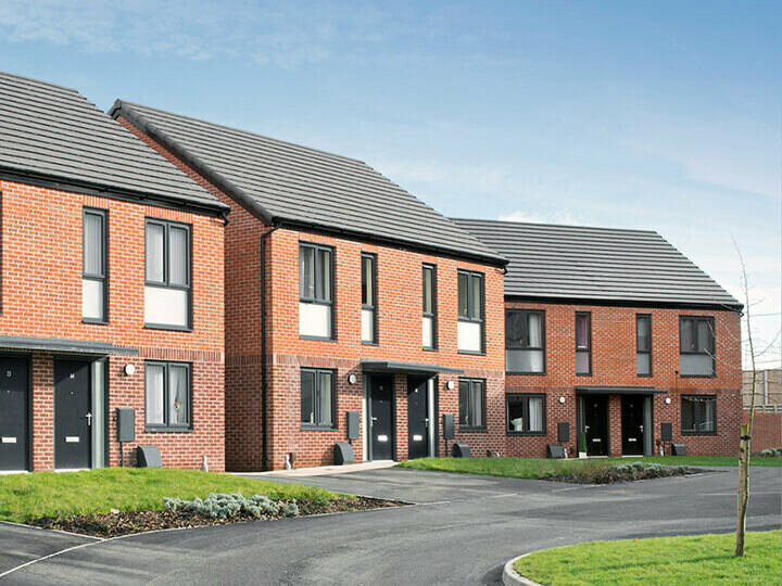
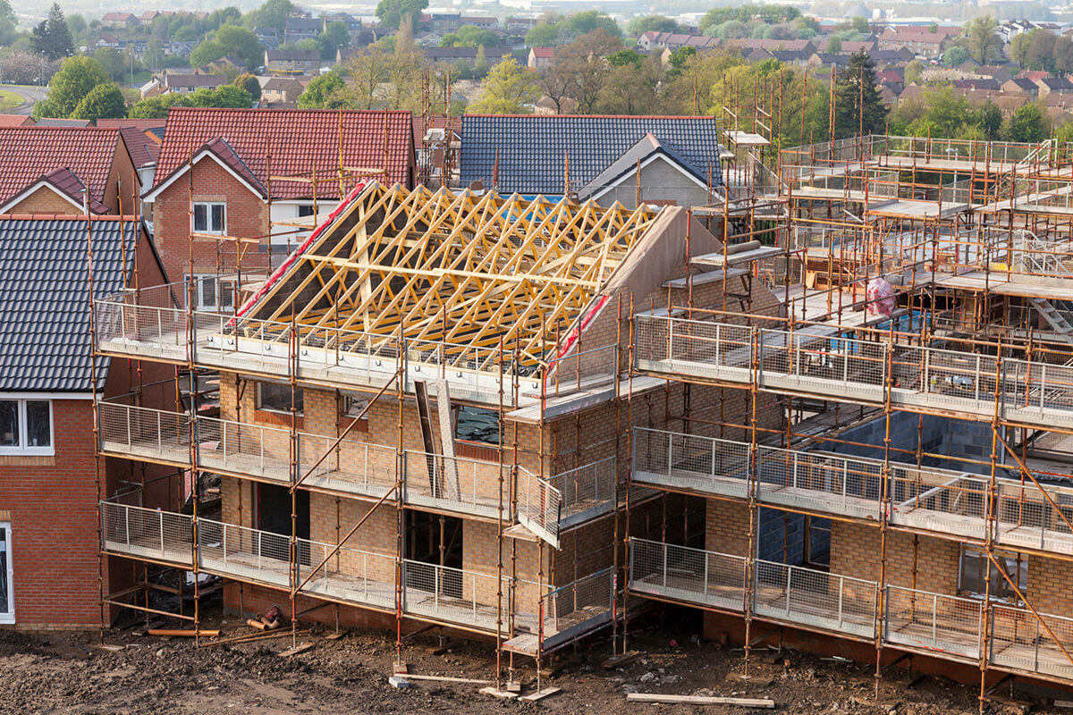
There's more and more focus on the early stages of the property development life cycle at the moment, and to underpin this GeoPlace has been doing detailed work on mapping lifecycle triggers for streets and addresses. At a high level, planning and building control simply provides the triggers that are recorded in the LLPG – but at a lower level this becomes more complex. The mapping lifecycle has many layers, and several factors influence the accuracy and currency of data flowing through the system. Building Control is often undertaken outside of local authorities, for example; completion notice data may not be shared in real time; Street Naming and Numbering (SNN) may happen at the planning stage or later in the development stage, and State and Logical Status Codes might be used inconsistently between LAs, but for good business reasons. Lifecycle data is a growing need for organisations and departments such as the VOA, DWP, HSE, NHBC, emergency services – the fire services in particularly have a prevention need for using this data – as well as DLUHC, Royal Mail, HMLR, and third parties working in the property buying and selling sector. It is equally as vital for internal local authority services.
Steve concluded by looking at the accuracy, timeliness, interoperability and consistency of lifecycle data. Issues to take on board include the fact that the early planning stages of the lifecycle are not currently mandatory for LLPGs, and consistency of local approaches is important nationally. System vendors may hold the key to data flows and integration. Specific guidance is still needed on key lifecycle triggers, and it is as important to work with other actors in the process as it is to factor in the possibility of working with 3rd party authoritative data. The key is to focus on projects that can be a vehicle for improvements.
Street lifecycle data
Marisa Hayes continued the session with a look at the use of street lifecycle data. Property land and street data is being consumed more widely and more dynamically than ever before. This can be seen through the increased use of AddressBase products, FindMyStreet, FindMyAddress and access to DataVia – as well as through the variety of questions posed in the community discussion boards.
Custodians are the key enablers, but it’s clear there’s more pressure to deliver. Local government data has some high expectations placed on it and GeoPlace’s role is to champion that work through all the available networks – targeting the key decision makers in local government. From discussions around the country with address and street custodians, there are many ways of capturing the change intelligence which is highly sought after. Good examples of best practice exist, but each one is different. From a planning and development site to the adoption and maintenance of a street and all that entails, everything is driven by the Data Entry Conventions – the DEC. In today’s fast paced world, parts of the DEC may need to play catch up and this is where early and continuous engagement with the lifecycle’s community is key.
As a property or development starts its life, for example, there are several questions that arise. At which stage should the UPRN / USRN come into existence? When is too soon? When is too late?
Is it possible to influence developers to confirm plans well in advance ? It is in their interests – their customers will be better-served if the data is already in the system. It’s the progression from here to the next stage that is critical – making data available for utilities planning – installation, insurance purposes, mortgage, financial, housing association, fire and emergency.
Accuracy of plotting the UPRN and USRN is vital to avoid excessive maintenance and revisits to the same sites. Systems need to be capable of consuming geo-referenced plans with ease; for example why can’t the digital plans be taken once and once only. What is acceptable in the current DEC may not be suitable for current and future use, and GeoPlace will be leading these discussions.
Legal requirements under the NRSWA state that Streets are first recorded as Under Construction – pegged out or works taking place – but this often goes into the gazetteers early, with a risk of those SNN streets, which exist on paper only, not going into construction phase. This raises more questions around what happens, for example, to the multitude of USRNS/ UPRNS planned, and plotted, but never constructed? For Streets, there is already a sense check where USRNs have been under construction for more than three years. It’s not a point of failure, more of information.
There are many triggers that ensure the accurate capture of change intelligence – everyone involved needs to champion the local gazetteers as the central source of intelligence and change. Discussions about the property lifecycle started in late 2021, and several custodians have agreed to pick up with practical support and guidance. The opportunity exists now to influence the DEC, introduce best practice, within the scope of the Improvement Schedule.
There is always a demand for improvement over and above – not just from a commercial POV but from internal demands for accurate data and in particular change data. GeoPlace has an internal working group – looking at where the UPRN can be consumed externally – but while speed is importance, the integrity of the gazetteers must be upheld. Change takes time, and changes must be delivered within the governance process and within the scope of the Improvement Schedule process.
Checks and balances can be put in place, providing information for custodians to respond to, but now is the time to look to the future and the demands of accurate change intelligence: the benefits will be realised in myriad ways, such as improvements for the emergency services, in crime prevention, fraud prevention, electoral services, waste collection, connection of utilities, and school places. All of this is reliant on the UPRN / USRN, and the change intelligence provided throughout the Street and Property lifecycle.

Street Naming and Numbering Code of Practice
Zoë Britt continued with an update on the Street Naming and Numbering role and the wide range of activities that have been carried out by local authorities since the last GeoPlace conference. Under statute, it’s vital to support best practie within the sector, working with officers to learn from others on the optimum processes and linkages that can create the most up-to-date accurate address and street records for use within the public sector and beyond. GeoPlace facilitates a group of local authority SNN volunteers who have come together under the SNN working group, and produces a wide range of resources for use by all.
Those resources include the new Code of Practice, which includes topics such as governance, consultation best practice, and street naming and numbering notifications. The Code has been developed to compliment the Data Entry Conventions, which still offers best practise for Street Naming and Numbering officers in their everyday remit. The Code is another layer of support for everyday requests received by GeoPlace, but also for the more unusual cases that crop up from time.
It's a web-based tool rather than a traditional paper-based manual. This enables GeoPlace to review, update and edit content as it evolves – it also helps move us all towards paper based paper-free working, which is better for the environment. The Code contains a number of areas, all of which have been put together after workshops with SNN officers. Each area offers support and more guidance, linking out to an online open resource library. In this way, if an officer wants to use the Code’s content in their local policy, then they can do that directly but be sure the content will remain current. Zoe concluded her presentation with a run through of the Code of Practice and an overview of the next plans including building up scenario examples.
Addresses and Business Transformation at the VOA
Heather Whicker picked up the session with a look at transformation within VOA – the Valuation Office Agency. The VOA is an executive agency of His Majesty’s Revenue & Customs (HMRC) and has more than 3,500 people employed valuing properties for council tax and non domestic rates in England and Wales. This helps to secure around £60 billion of local government taxation to fund essential public services.
The VOA creates and value spaces over which a single occupier has ‘paramount control’ – known as ‘hereditaments’ and must publish an address for each one. This data is covered by HMRC legislation about confidentiality of taxpayer information and can only be shared via specific legal gateways. VOA has a legal gateway to share address data with billing authorities and also shares the data with GeoPlace for the purpose of address changes. This supports the VOA function of maintaining accurate council tax and business rates list. The addresses include properties that have been added or deleted or changed in the CT and NDR lists, and VOA sends these changes to GeoPlace every week. By return, it receives a set of BLPU UPRN, X/Y coordinates, and Representative Point Code correlated by GeoPlace. There are known interoperability and operational issues caused by inconsistent data structures, time lags, variation amongst billing authorities and other legacy issues, so there is room for improvement – but VOA is working closely with GeoPlace and the OS to develop a much deeper understanding of the issues.
Nearly all VOA domestic property addresses can be matched 1:1 to their LA BLPU address, although there are some legacy inconsistences that are picked up through casework. However, correlation between a VOA non-domestic property address and the LA assigned property address to the business are often complex. The differences are most common when VOA has to create a new VOA non-domestic property address. A business with a single postal address and UPRN could be split into several addresses, for example, representing different individual hereditaments in a business.
The long-term plan involves business systems transformation within the VOA. This will include a new case management system, valuation rules engine, data models and data storage capability. A flexibly structured data model will manage how new hereditament data is created, and quality will be maintained through architecture guardrails, consistent standards and validation. Delivered by VOA and HMRC, both organisations have dedicated resource to deliver this transformation, with support from a number of external suppliers, all specialists in their fields. This transformation incorporates new state of the art geospatial capabilities, but it does have limitations.
Hereditament legal definition doesn’t always match UPRN, for example. There are complex mappings for non-domestic properties, and it is a large and complex addressing ecosystem that comprises many partners. However, government standards will be adopted where possible, using the UPRN. OS addressing APIs will be used where feasible, as will standardised description for new addresses. The interface for sharing data with billing authorities will be upgraded, and the approach to working in partnership for continuous improvement will ensure customer pain points are taken into consideration.
The VOA is developing a new portal for submitting local authority reports (for purposes of updating CT and Rating Lists), and is working with groups of LAs in the rollout and implementation, and engaging in significant user research with LAs.
Why are we doing this? The current system is not as accurate and efficient as it should be. Good addressing enables VOA data to be connected for national priorities beyond supporting revenue raised through Council Tax and Business Rates. . ONS already uses Property Attribute Data in a variety of National Statistics including the Census and House Price Index, and energy modelling, and ONS Integrated Data Service will enable secure connection of sensitive data sets such as health and housing. Longer term – even more, better connected data systems will support public service delivery.
Current data flows and processes supporting the exchange of data between local authorities and VOA
Andrew Harrison brought the session to a close, reflecting on the VOA’s transformation. The VOA is in the early stages of a transformation that involves updates to several major systems including their central property database, developed almost 40 years ago. The aim is to introduce a new property database and underpinning data model to support future adaptation and change - the new data model will ingest AddressBase Premium and adopt the BS7666 table structure. Crucially, VOA wants a strategic shift away from address creation – rather, it wants to consume authoritative addresses based on LLPG creation and maintenance processes. GeoPlace is working with VOA to understand these proposed changes to data management and how changes to workflows and data exchange could be optimised in future. To support this, GeoPlace initiated a pilot project in October 2022 with a small group of local authorities to review the current process and data models that underpin the flow of data between local authorities and VOA.
The 'Valuebill’ Project ran between November 2003 and July 2004. It tested the business case and the operational exchange of property tax information – developing four XML schemas for exchange of information between the VOA, Local Billing Authorities (BAs) and LAs to support collection of Council Tax (CTAX) and Non-Domestic Rates (NDR) revenues.
Three areas needed special attention to realise the benefits of XML data exchange:
- consistent use of identifiers to ensure unambiguous identification of properties and transactions (such as BAREF, UPRN and transaction reference)
- process improvement recommendations (to implement consistent use of these identifiers by VOA, BAs and LLPG data custodians)
- the role of gazetteers – ensuring all taxable dwellings/hereditaments are held in the LLPG, and robust maintenance of the LLPG together with links to the revenues and other application systems.
Valuebill wasn’t rolled out on a national basis, but the work laid a foundation for good practice in many LAs and the XML schemas are still in use by several suppliers. Development of the LLPG Data Entry Conventions (DECs) to define the scope and content of gazetteers to include addressable objects to align with VOA occupancy level property descriptions has paved the way for closer integration. High match rates to VOA are maintained by LLPG custodians with mandatory application cross-referencing between BAREF and UPRN supported by a national NAG-VOA match.
Andrew continued explaining the processes involved in recent research looking at the effectiveness of the VOA’s transformation plans, and how the VOA’s vision impacts custodians. The aim was select a sample of LAs to include a range of billing systems and level of integration with LLPG / UPRN.
Information gathering was based on user research with a small sample of LAs, followed up by an online survey issued to all English and Welsh LAs. Seven LAs were carefully selected from a long list of 18 based on level of system and data integration, location and characteristics of their property base. Each user research session comprised of a one-hour interview with a contact identified by GeoPlace, and there were 165 responses to the follow-up online survey. LAs were selected from a combined CTax system and UPRN integration data dashboard prepared by GeoPlace, showing a high degree of variation in terms of system suppliers, reliance on UPRN and address update method and frequency.
The current ‘as-is’ process model comprises three process domains, which support interfaces for exchanging property information between VOA and local authorities.
- VOA – BA interface was set up in late 1980s based on VOA core system and hasn’t changed significantly since – it is based on a standard set of reports for exchanging property updates.
- BA – LLPG interface has developed in conjunction with the maturing of LLPGs starting in the early 2000s –there is no single or standard model of interaction.
- VOA – NAG interface is based on a regular CTAX and NDR national match that was established by the ValueBill project
Andrew explored the findings from this research: Within the pilot LAs, there was little awareness of ValueBill and associated schemas. However, feedback showed a perception that VOA processes are manual, slow and inconsistent and result in errors and wasted work.
A lack of interoperability and automation results in billing authorities being reluctant or unable to resource correction of errors, so thousands of errors remain in data. Creation of addresses by VOA is a major issue as it is usually carried out without consultation with the billing authority or LLPG custodian – there is currently no formal channel or protocol for VOA and LAs to communicate on address creation or exchange data.
Many report significant delays in VOA responses to billing authority reports (response rates have not recovered from suspension of 90-day response due to COVID), and there is generally a lack of awareness around the VOA information-sharing agreement – LAs report that VOA is not willing to share plans or other information to help validate addresses.
However, in a far more positive light, all pilot LAs reported a good working relationship with their billing authority colleagues – essential to make process work and often facilitates access to key data extracts and reports. Levels of interoperability between LLPG and billing authority systems are low –most processes are manual, and CT and NDR processes at a billing authority are a challenge as the LLPG interface are often different. But all pilot LAs demonstrated a good working knowledge of what VOA is trying to achieve –they see interactions with VOA as a key source of property intelligence.
Completeness and currency of the LLPG is paramount to efficient data exchange and matching to billing authority system and processes: where billing authorities see LLPG as ‘single source of truth’ for addressing then address creation and matching processes are usually highly effective and efficient. GeoPlace would like to understand better how the national match is used internally by VOA and opportunities for UPRN adoption. The survey results validate that the VOA address matching process continues to be a major burden on LLPG custodians – there is general recognition that the wider benefits of maintaining this level of integration are important.
The candidate ‘to be’ process model comprises key features that highlight the importance of custodians’ role. It reinforces the LLPG as a single source of truth for UPRNs and addressing, and introduces a candidate address process VOA-LLPG. A complete process model is likely to be based on authoritative addressing (UPRN & address), building on emerging API / data connectors for exchanging data with key services and feeing address intelligence locally (LLPG) and nationally (NAG) into VOA- billing authority processes.