

Share
Hertfordshire County Council (HCC) wanted to create a comprehensive cycleway map for its area. This map would inform transport strategy, aid maintenance and planning, and help their teams to answer FOI requests. To achieve their aims, they created a cycle route layer using the National Street Gazetteer (NSG).
The Challenge
HCC did have a basic network of cycle paths within its highway network layer that was similar to a Pavement Management System network. It was used for inspection and maintenance purposes. However, they knew the layer was incomplete and mainly recorded off-road routes, whereas specific cycleways had been built and many footways had been converted to allow more journeys by bike. Many of those ways hadn’t been included in the highway maintenance network. On-road routes were also not recorded in the council’s systems because these came under the category of ‘road markings’.
The team’s objective was a stand-alone digitised network that would describe the type of route with a number of defined attributes that could be expanded on later. They needed enough accuracy to describe exactly where the route was and how it joined roads and footpaths, with a reduction in scale that could provide a broader publicity map.
According to CyclingUK, around 5-6% of the population aged 16+ in Great Britain as a whole ride their bikes at least once a week or more for transport purposes. That’s just under 3 million people. In busy, built-up areas, a single cycle paths can transport five times as many people as a motor traffic lane; in rural areas, they can be an essential addition to people’s lives in terms of mental and physical health.
The Solution
HCC didn’t want to create entirely new geography for this network. The Council already had its local highway network, which they were aiming to move over to the NSG geography. The ideal solution was to use the Elementary Street Unit (ESU) geography, a national product that allowed the network to automatically get a wider circulation.
However, there were challenges. A street is defined by a single centre line ESU, which represents the width of the street between highway boundaries, and the NSG Data Entry Conventions only allow a separate path to be digitised if it is more than 30m from the road. While HCC had modified this rule to digitise paths that were close to the road but hidden by hedges or on a different level, it wasn’t justifiable to break the rule simply to provide geography for a cycleway next to the road. A compromise had to be found.
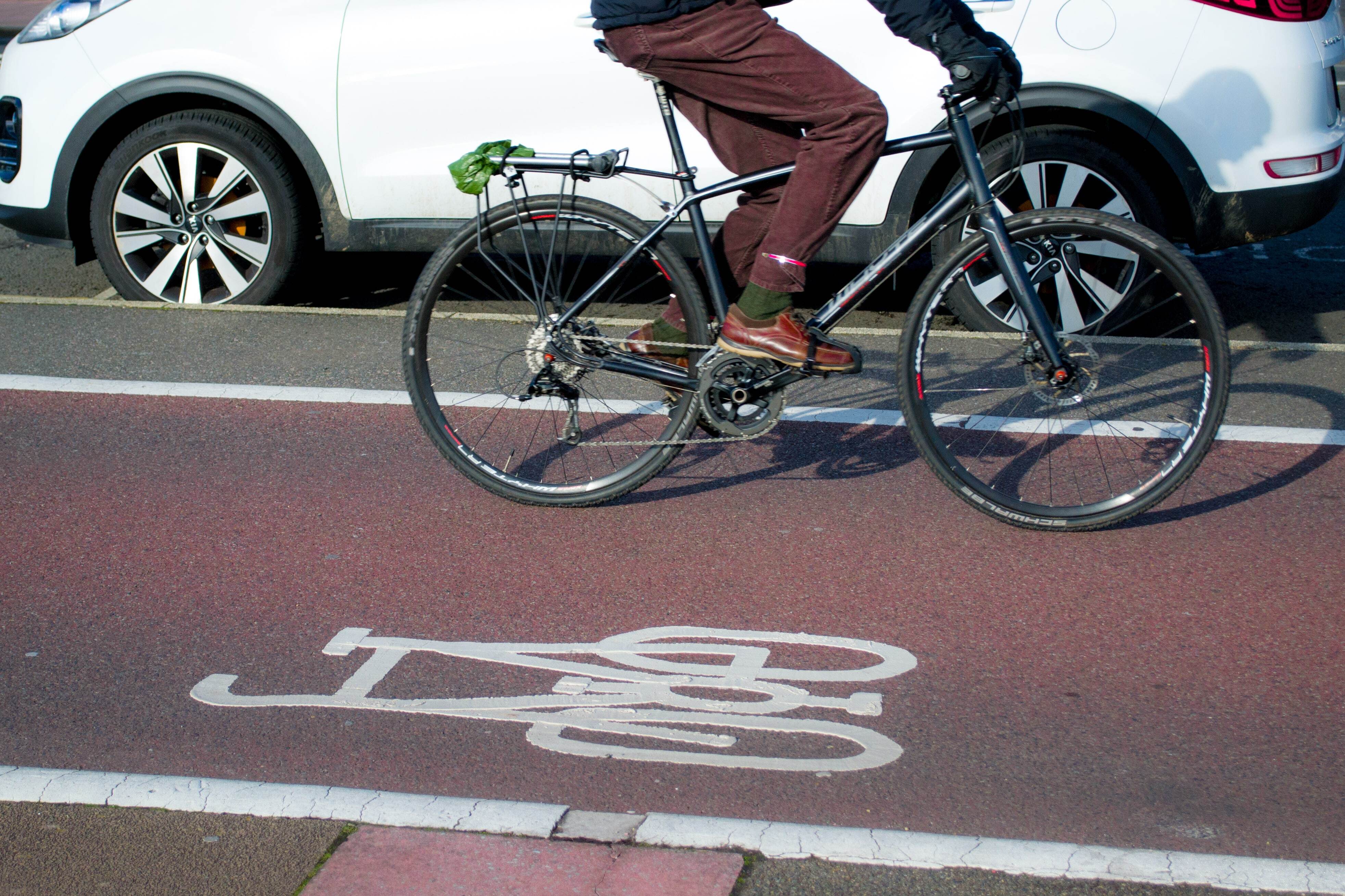
In short, on-road cycleways were represented by ESUs with an attribute that indicated the side of the road on which the cycleway was situated. Separate off-road cycle paths could be represented provided they didn’t break the 30m rule. The local highway network had to represent cycleways next to a road or on a shared footpath.
The Council found the easiest approach for recording attributes against the geography was to create a spreadsheet with multiple drop-down options. The ESU_ID for the NSG geography and the Asset_ID for the highway network were used as linking fields. The attributes were then simply joined to the geography when a new layer was required.
Once it had been decided how the geography was to be used, and the attributes had been defined, the project was technically fairly straight forward.
In some ways, the most challenging aspect was finding and recording the cycle paths themselves. Known cycle paths were recorded first. Much of the work to include the National Cycleway Routes in the NSG was already done, so the Council knew much of the NSG geography already existed for those. Routes that been logged in the highway network were identified, and a web mapping portal was used to identify missing routes with aerial photos, local knowledge and site visits.
The Results
HCC now has a robust and accurate representation of the cycle network in Hertfordshire – something they can rely on and keep up to date easily. That work relies on engineers and officers, who go through a process that links to new records as and when emerging schemes are delivered.
Alternative modes of transport have been given a higher priority recently. Hertfordshire County Council’s plans for promoting the use of cycles has been given a significant boost by this project and has already seen an increase in focused requests for information about cycleways, where they are, how many have been built and when.

