The National Street Gazetteer (NSG) is one of our nation’s most valuable resources. Originally it was created to coordinate streetworks in England and Wales.
By using the data within the NSG fewer streets need to be dug up repeatedly.
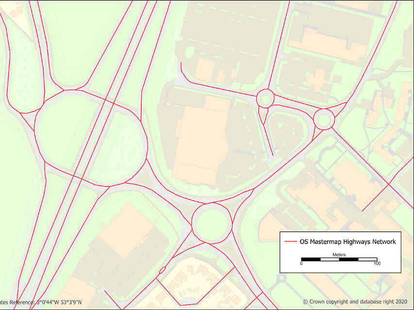
Local authorities and other organisations now use the NSG as their core dataset for many other services that depend on accurate street data, including the maintenance of our Highways Network.
It’s one of our nation’s most valuable resources – it makes the country work. It’s a big database; with 1,486,432 million streets supported by 18,865,643 features.
The NSG is a comprehensive, authoritative database of all streets in England and Wales. It provides detailed information about public roads, private streets, and associated assets like footpaths, cycleways, and byways.
The NSG holds vast amounts of data
The NSG’s architecture has a unique referencing system that’s embedded in legislation. At a local level, local highway authorities maintain Local Street Gazetteers (LSGs).
As soon as a local highway authority makes a change to their Local Street Gazetteer (LSG) they upload it to the NSG hub alongside Additional Street Data (ASD) submitted by utilities, regional authorities and national organisations. we verify and quality assure the information against several hundred criteria, integrate the data, and make it available as the National Street Gazetteer to licenced users via web downloads.
It’s the database that keeps us moving
By bringing together local street information at a national level, we can help to keep our traffic moving smoothly.
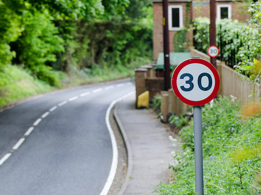
Highway authorities use the NSG to meet their statutory requirements, managing and providing appropriate streetworks notifications. The NSG is also essential for organisations like utility providers – helping them to work efficiently with contractors all accessing the same, authoritative, single source of data.
The NSG is primarily used by local authorities, utility companies, and other organisations to manage street works, road maintenance, and planning, ensuring accurate and up-to-date information on street ownership, classifications, and restrictions. It plays a crucial role in coordinating activities and minimising disruption on public roads.
Which streets are included in the NSG?
The National Street Gazetteer (NSG) includes:
- motorways and trunk roads
- classified numbered streets
- publicly maintained streets
- prospective publicly maintained streets
- private streets known to the highway or roads authority
- footpaths
- subways
Related content
About streets
What is Additional Street Data?
Additional Street Data (ASD) is the extra information about the characteristics of a street.
About streets
Highways Network
Find out more about the UK’s Highways Network.
About streets
Use our street data
Learn more about Use our street data View more about Use our street data