Share
Accurate, aligned street data simplifies and accelerates road length reporting; poor data triggers extra validation, investigation, and even repeat collections, adding burden locally and nationally.

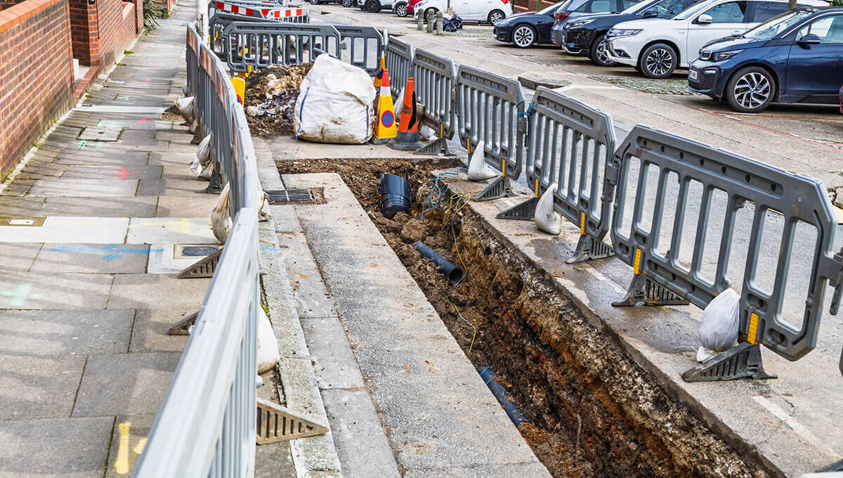
Maintaining roads is always a challenge for local authorities, requiring technical expertise, planning, coordination, data and funding.
The R199B process is a vital periodic data collection exercise led by the Department for Transport (DfT) to gather accurate road length information from local highway authorities in England. Conducted every four years, it underpins reliable national statistics on road lengths across Great Britain, directly informing funding allocations, including components of local government finance settlements, road condition monitoring, maintenance planning, and broader transport policy.
For years, R199B has been a necessary but resource-intensive process: manual, intermittent, and disconnected from the day-to-day data authorities already maintain. That is now changing.
From 2026 onwards, the DfT will change to using data from OS MasterMap Highways products as the sole source of information for road length.
This is the result of a program of work reviewing the data processing and quality for ‘C’ and ‘U’ roads between DfT, Ordnance Survey and GeoPlace. The new methodology used by DfT will include information about maintenance responsibility provided by LSG street custodians within each authority. This will allow the department to identify ‘U’ roads maintained at public expense and enable the annual publication of separate ‘C’ and ‘U’ road statistics, which were not previously possible.

The proposed new methodology was announced several years ago and communicated through previous road length statistical publications and at conferences including the GeoPlace conference held in May 2025. This announcement confirms the timing for this transition.
The DfT anticipates update by LSG street custodians will be the main mechanism that local authorities will use to update their road length information. The R199b form has not been removed from the Single Data List, but a collection is not currently planned for 2026.
Other LSG benefits to an authority
This announcement demonstrates that high-quality, current Local Street Gazetteer (LSG) data has never been more important. By prioritising accuracy now, Custodians are helping build a more efficient, joined-up future for highways authorities and DfT alike.
But what other benefits can a high quality, well-maintained LSG bring to an authority?
Essential infrastructure
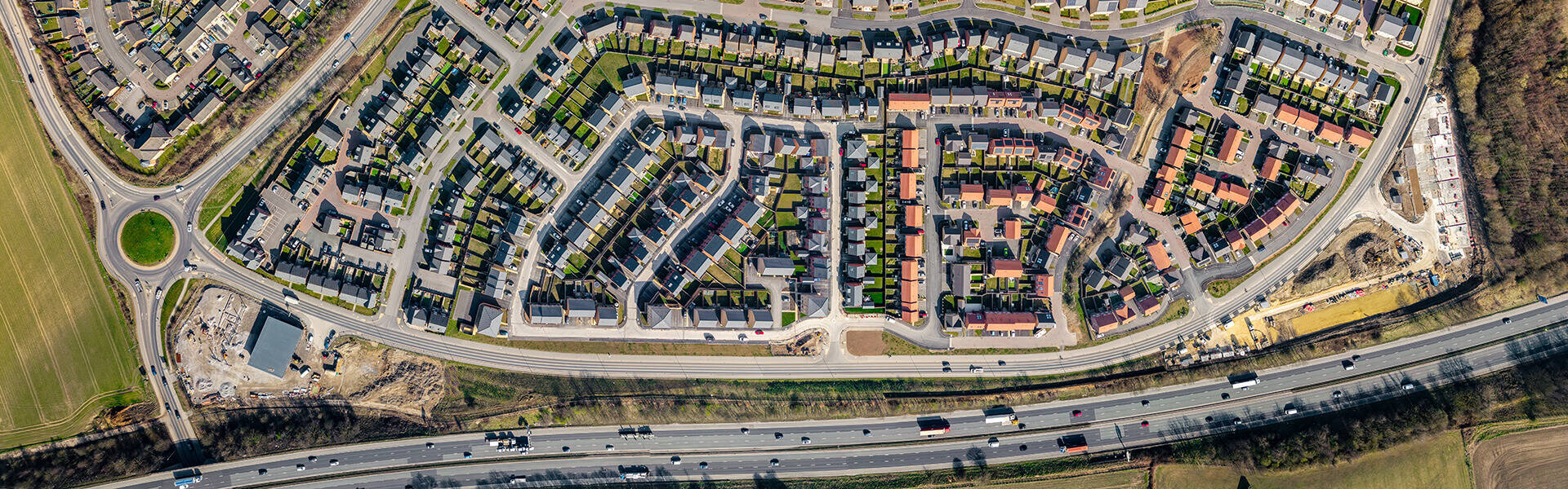
The LSG functions as essential infrastructure for a highway authority. Without precise street data, authorities struggle with fundamental questions, such as;
- which parts of a street are publicly maintainable?
- where does responsibility shift along a route?
- what reinstatement standards apply where?
- Which roads are traffic sensitive?
- which works should be coordinated?
Unclear answers breed inefficiency: delays in planning, rushed coordination, temporary fixes that become permanent, escalating lane rental charges, and declining public trust.
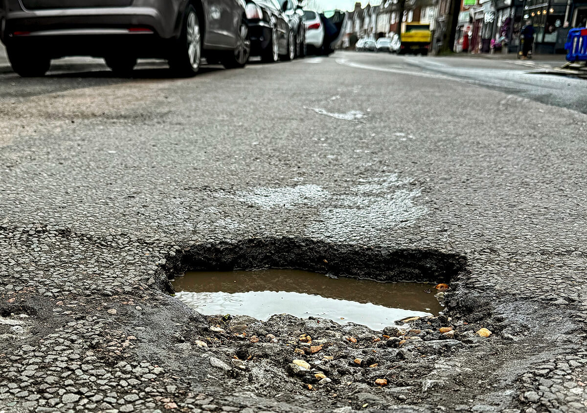
When the LSG is complete, current, and used early in the process, a different picture emerges. Works can be planned collaboratively, surfaces treated correctly first time, disruption minimised, and crucially, maintenance shifted upstream to prevent potholes rather than react to them.
Proactive maintenance depends on joined-up data
Effective highways maintenance goes beyond inspections and repair crews, it hinges on seamless information flow across systems.
Where inspection records, street data, and works management integrate effectively, authorities achieve more with less: intelligent route prioritisation, faster defect logging and actioning, and structural fixes for repeat failures instead of repeated symptom treatment.
The result is fewer emergency fixes, reduced compensation risks, and a slower-degrading network. While roads still require investment, better data changes when and how that money is spent. The LSG provides the shared reference point that aligns teams, suppliers, and systems around one accurate view of the network.
This is where the link back to potholes becomes clear, where defects are not failures of repair, but failures of coordination, timing, or information.
Better data = better funding = better roads
Data quality carries real financial weight. Accurate, aligned LSG data simplifies and accelerates road length reporting; poor data triggers extra validation, investigation, and even repeat collections, adding burden locally and nationally.
In budget discussions, this is significant. Investing in data quality isn't an overhead. It's a strategic safeguard: protecting funding positions, cutting avoidable reactive costs, and strengthening the case for proactive interventions over endless repairs.
High-quality LSG data delivers leverage across operations, finances, and strategy: smarter maintenance, clearer accountability, and better funding outcomes. As national reporting increasingly depends on it, the Street Custodians' role grows even more pivotal.
Accurate, current, and actively used street data rarely makes headlines, but it increasingly determines funding outcomes, maintenance efficiency, and public confidence. As national reporting becomes more data-driven, the quality of the Local Street Gazetteer will shape not just statistics, but the condition of the network itself.
Street data quality is not an overhead. It is a financial control.
For any questions about the DfT road length methodology, please contact [email protected], for any other questions, please contact [email protected]