Share

In October 2025, through the Fourth Round of the Regulators’ Pioneer Fund (RPF), Government’s Regulatory Innovation Office (RIO) has awarded Land Data a grant of £999,592 to deliver the next generation of the National Land Information Service (NLIS).
The grant marks a major step forward in modernising the NLIS, and at the heart of this next-generation platform are data standards and the Unique Property Reference Number (UPRN).
By building on open, standards-based foundations, the new NLIS will make it easier for data from across the property lifecycle to be connected, validated, and trusted.
Creating a market data model for interoperability
A central part of this work is the development of the market data model — a framework that both models the data the platform needs and maps each data point to a corresponding industry standard source.
This is critical because the property and land sector involves a wide range of stakeholders — conveyancers, surveyors, local authorities, utilities, lenders, and more — each following their own data standards and conventions. Without a shared mapping, every organisation must work out how their data aligns with others, creating duplication, inconsistency, and a high risk of error.
The market data model eliminates that inefficiency by aligning NLIS data with recognised global standards from the start. This ensures consistency and interoperability across the system and reduces the risk of mismatched or misinterpreted data.
Mapping to global standards
The original NLIS catalogue drew on early versions of the PISCES standards (now known as OSCRE) to support the conveyancing process, including key datasets such as CON29 and LLC1. However, these links were never formalised. In the next-generation NLIS, these mappings will be codified in a machine-readable ontology, enabling consistent, standards-based automation and integration.
The new NLIS will first align with two leading global standards for the built environment:
• OSCRE, a global, open data model with strong governance and sophisticated semantic definitions covering the full property lifecycle
• buildingSMART IFC a widely adopted schema for describing built assets digitally, supporting interoperability across systems used in construction, planning, and asset management.
Where existing definitions don’t exist within these frameworks, NLIS will draw on complementary and emerging standards, including:
• the Property Data Trust Framework, NLIS’s data standards and schemas follow and promote the relevant SPDTF specifications for data sharing in the home buying and selling ecosystem.
• relevant ISO standards such as ISO 20022
• other domain-specific or sector-led data standards (there are more than 400 published standards related to the built environment in the UK alone).
Together, these form the foundation for an interoperable, trusted data ecosystem, one that supports both national and international consistency in how property and land information is structured and shared.
Embedding the UPRN at the core
Both OSCRE and the Property Data Trust Framework explicitly reference the UPRN, giving the new NLIS a clear, standards-based mechanism for linking data.
By embedding the UPRN directly into NLIS schemas, the platform will enable consistent linking between property datasets — strengthening validation, improving accuracy, and reducing duplication.
The team is also exploring the validation of UPRNs against associated addresses and geographic polygons, helping to identify mismatches early and improve data confidence. While this is unlikely to be a simple yes/no check, proximity-based validation could flag inconsistencies for review, further improving quality.
The role of GeoPlace
GeoPlace, is the national custodian of the UPRN and USRN (Unique Street Reference Number) system and we play a pivotal role in ensuring these identifiers are accurate, authoritative, and maintained through collaboration with local authorities and Ordnance Survey.
As I said in the Land Data announcement:
“Creating the next generation of the National Land Information Service is a vital step forward in modernising the infrastructure that underpins property transactions across England and Wales. The integration of the Unique Property Reference Number (UPRN) into the platform is essential, bringing consistency, accuracy and confidence to the search process, benefiting consumers, local authorities, and the wider market. GeoPlace is proud to support this platform."
Through its work with Land Data, GeoPlace continues to promote the consistent use of national data standards and unique identifiers, to try and ensure that property information systems across the UK remain reliable, interoperable, and aligned with global best practice.
I welcome the publication of the HM Land Registry 2025+ strategy which sets out the Land Registry’s ambition to unlock a better, faster and less stressful property market through improved digital services, enhanced expertise, and customer-centric approaches. The strategy outlines its commitment to use agreed data standards that allows vital property information to be shared as spatial data via APIs to enable near instantaneous transactions. This is an important step-forward in supporting the property market with better access to a vital national asset.
Building trust through data consistency
By linking property data to authoritative identifiers like the UPRN, and mapping that data to established, machine-readable standards, the next generation NLIS will provide a stronger, more transparent foundation for the property market.
It’s a change that supports digital transformation across conveyancing and land management, and it reinforces public confidence in the accuracy and reliability of official property information.
Ultimately, this is about creating a common digital language for property and land data, one that connects the many systems, organisations, and transactions that shape how we buy, sell, and manage land in the UK.
The next generation NLIS will not only modernise how property data is exchanged, but also strengthen the data infrastructure that underpins it, ensuring the system is accurate, interoperable, and ready for the future.
Footnote
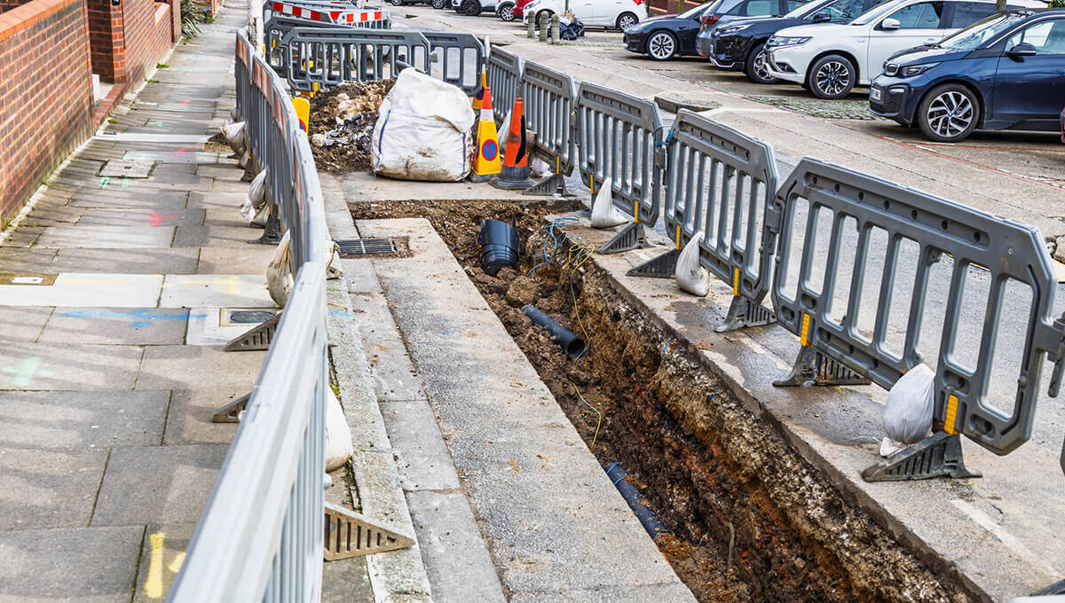
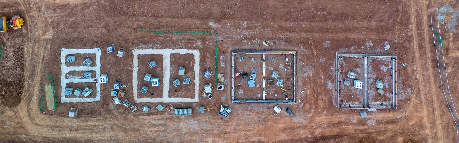
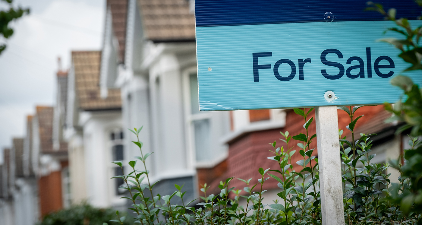
Over the past few years, there have been wide-ranging calls for the inclusion of UPRNs in property related information. These include:
• Tracking the property life cycle: From planning to completion with UPRNs
• Picking up the UPRN pace in the UK property market
• New home builders implementing customer identity standards with a UPRN
• UPRNs are now ‘baked in’ to help streamline conveyancing
• Housing Minister says UPRNs should be ‘baked in’ to streamline house buying and selling
• The UK’s Residential Property Sector advocates greater adoption of the UPRN