Share
Day 1, Session 4 - Explored the Health and Social Care theme in more detail, showing how simple changes to datasets – such as adding the Unique Property Reference Number (UPRN) – can deliver huge benefits to society, and identify and support the people in society who are most in need.
Speakers included:
- Huw Jakeway, Chief Fire Officer, South Wales Fire & Rescue Service
- Tony Bracey, Head of Programmes, Welsh Government
- Paul Withers, Data Protection Officer, Walsall Council
- Graham Hyde, Local Care Partnerships Intelligence Manager, Leeds City Council
- Jo Mann, Risk and Intelligence Manager, Humberside Fire & Rescue Service
Listen to the presentations here.
Huw Jakeway, Chief Fire Officer, South Wales Fire & Rescue Service opened this session, with an overview of the ways in which fire response and prevention has changed in recent years – and how information about vulnerable citizens, in particular, can be used to make citizens safer, when critical events occur in the community.
He explained that the fire service in Wales has long been an advocate of using geospatial data in a justified, legal, proportionate way to help citizens. Ten years ago, the service was doing about 25,000 home safety checks each year, which were advertised on its website. With high targets per shift and per tour of duty, however, feedback from crews showed that teams were often ‘working in the wrong area’ – first-hand, they knew the details of the areas where fire discriminates, better than the data was suggesting. The data was creating wrong behaviours.
Huw explained that the solution to this problem was a simple changed in approach. The team removed targets and started using data proactively to make communities safer – using deprivation data, and information about mental health, substance misuse issue, and age – indices that increase the risk of fire in the home.
Today, the service has 35 memorandums of understanding and service level agreements with different organisation that underpin data-sharing agreements to make this possible.
Anyone over 65 registered with a GP, for example, is on the teams’ radar as potentially needing more support in fire prevention. The fire service uses these data-sharing agreements to enable lifestyle mapping, at a granular level, to identify how to better target resources effectively. It also looks at post-fire incident data, looking at human behaviour – how fires were found, how people reacted – which is crucial in improving the way fire-prevention and fire-management messaging is then created for citizens.
This information is all citizen-centred, which means a referral pathway can also be provided for falls in the home, for example, the fire response teams can also be far more vigilant to fuel poverty – linking their findings to data provided by local utility providers, who can then further provide support in the right place, and all operational crews are trained to recognised signs of domestic abuse. However, the difference now, is that the addition of UPRNs to core datasets means the fire services can share citizen-centric information to provide household-level support in all of these areas – creating a two-way insight with a single source of information.
In short, the South Wales Fire & Rescue Service has moved from a blanket approach to a far more targeted way of delivering services in a joined-up way. It’s an “every contact counts” approach. Not everyone needs a visit from an operational crew; some people might need literature and advice, where a high-risk citizen might benefit more from in-the-home personal contact. The team is delivering 8,000 fewer home safety checks per year than ten years ago, but making every contact count – those visits are now much more effective, and the team is confident it’s visiting the most vulnerable in the community. This has resulted in 75% fewer fires, 33% accidental fires, and 40% fewer injuries in the home.
Tony Bracey, Head of Programmes, Welsh Government, echoed the importance of using location data to provide citizen-centric services in the community. He emphasised the need to ensure data can be accessed and indeed, shared authoritatively, efficiently and with absolute confidence. Information sharing is key to safeguarding. He provided an overview to the JIGSO3 system, which uses the existing data infrastructure built by DataMapWales and facilitates a geospatial approach to planning and response to major incidents.
The system demonstration showed how Wales’s core datasets can be made available to the resilience community, as a free to use service. Datasets start at the OS AddressBase level, and then drill down into other layers of granular information. All of the properties that are known to be at risk are pre-processed, prior to users accessing the portal, which allows teams in different areas to work collaboratively – seeing, instantly, which and how many properties are affected by risk factors.
Quite quickly, teams can identify which properties are at risk from flooding, and the portal carries care home data too – presenting the information in a way that makes it easy to see response times in each area, and to help co-ordinate priority responses. Users can zoom in on specific areas, filter down into the area to understand citizens’ vulnerability factors in detail, and download that data – with additional fields such as SMS contact details, for example – as necessary. Those tables can then be exported to the resilience community, and be in the hands of a responder on the ground within minutes – giving them the authoritative detail needed to respond effectively and efficiently in emergency situations.
This isn’t a new system, or a new piece of technology. It’s a system that optimises the UPRN, and hinges on the ‘create once, use many times’ principle to reduce the amount of time it takes to get key insights out to responders as quickly as possible. The integration of location data at this granular level means that, as a resilience community, there’s now a means to plan and respond to any major incident in a far more objective way – reducing response times from as much as five hours in some cases to three minutes.
In his role as the Data Protection Officer for Walsall Council, Paul Withers picked up the topic of effective data-sharing among multiple agencies. Poor information sharing has been the catalyst for many of the ‘lack-of-care’ cases that have been given a high profile by the media in recent years. The team at Walsall wants to champion high quality data sharing, and is always trying to improve its data sharing initiatives. As an accelerator project, for example, its Multi-Agency Safeguarding Tracker (MAST) is a public sector co-funding platform that brings together several partners in Walsall.
When someone puts a referral in about an individual – either via a phone call or email – then the safeguarding unit reviews the concerns and decides what the next steps should be. It was realised that those safeguarding partners might not need ‘all’ the details about that individual. MAST lets the appropriate teams see those citizens who should at the very least be reviewed: any previous activity, name, address, and postcode. In short, MAST lets the professional within the safeguarding unit make better-informed decisions that enable resources to be deployed more effectively and more efficiently. The partner organisations involved in MAST comprise Walsall Council: Adult Social Care, Children's Social Care, Public Health; Walsall Healthcare NHS Trust; West Midlands Police; West Midlands Fire and Rescue.
UPRNs are the methodology by which those organisations’ datasets are matched and cross-referenced: it’s the reliable identifier that’s needed to create those correlations, confidently. One of the greatest benefits from this system is the speed with which professionals can respond. If for example, the system shows multiple contacts with hospitals or the police, then the responder can send the resources needed appropriately. Location data is significantly improving the outcomes for citizens, as it enables the rescue services to identify, analyse, plan for, and then specifically target those priority properties. Getting responders on the ground to the people who need help and support most.
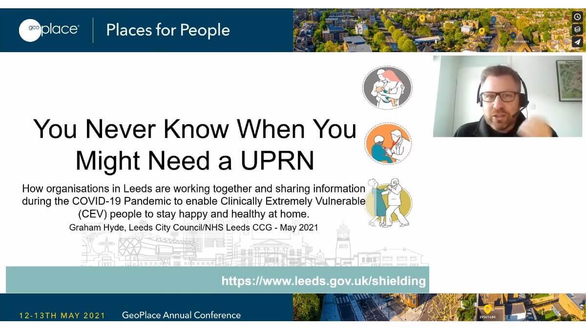
Graham Hyde is the Local Care Partnerships Intelligence Manager for Leeds City Council, and his role involves supporting and developing the local care partnership, promoting joined-up working to deliver local care for local people, working in and with local communities. His insights revealed how Leeds City Council had used location data to respond more effectively in the provision of care and support for vulnerable people, during the pandemic.
Leeds had 71,778 vulnerable people who needed shielding during the crisis, all with health conditions of one sort or another that meant they were more likely to contract the virus. At the outset, some of Leeds Council’s services had been paused, by the authority, so that resources could be diverted to where they were needed most, but it was clear that those resources had to be targeted to be effective. Initially, 37,781 outbound calls were made to identify and prioritise the need for that provision – the incoming data at that time from Public Health England and MHLCG wasn’t ideal in terms of highlighting who needed care most.
In response, Graham’s team linked the Clinically Extremely Vulnerable (CEV) list to other datasets in the authority that had the Unique Property Reference Number (UPRN). These included sources of information such as council housing stock data, council tax data – the single person discount was an excellent proxy for people who were probably living alone, and who might need a greater level of support (and it must be said that the UPRN did appear on the CEV during the second lockdown).
Covid focused attention on health inequalities. In Leeds, the team proactively worked to create primary links to their care data – identifying and addressing quality issues with that data as they went, and making changes that made it possible to link ethnicity data via an NHS number too. These data-linking exercises revealed even more information about people who might need additional, tailored, targeted support – such as help to arrange translations for health-specific leaflets. There were challenges around linking datasets together, but as nearly 33% of people on the CEV list live in 10% most deprived areas, nationally, demographically-oriented datasets could be used as proxies to create insights about potential care needs.
Ultimately however, the team’s work – integrating and using the UPRN to correlate disparate data sources – meant that over 7,600 people in Leeds were offered support to access food, including doorstep deliveries, and 1,335 children and families were given care in some form.
Great, positive outcome has been the expectation that insights will continue in areas such as the vaccine rollout. Vaccine rollouts and emulated CEV lists.
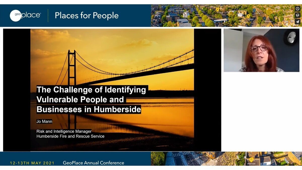
Picking up from the introduction given by Huw Jakeway, Jo Mann, Risk and Intelligence Manager for Humberside Fire & Rescue Service noted that the task of identifying vulnerable people and vulnerable property is not an easy one. To deliver prevention and protection services effectively, the fire services – all resilience services, in fact – have to work out the who, where, when, and why of vulnerability. In her role as the Risk and Intelligence Manager Jo explained how this puts a focus on having access to authoritative granular data, particularly when so many stakeholders are involved. Activity used to be area-based, using the indices of multiple deprivation or similar data sources as a guide. However, bearing in mind the services needed by Kingston upon Hull on its own, that approach led to resources being soaked up somewhat disproportionately, and Humberside Fire & Rescue Service wanted to find a better way to identify vulnerability across the board. The answer lay in location data.
The Humberside area is home to around 1 million people, living in 420,000 dwellings, with 32,000 commercial premises. The area is governed by four local authorities, and there are also four clinical commissioning groups, which creates its own problems when it comes to data sharing. The team started looking at data in a different way, using national datasets to profile the factors that made people more vulnerable; people living alone, smoking, mobility issues, living in rented accommodation, with some alcohol involvement, and being over the age of 60, for example. Experian’s MOSAIC profile tools provide the information needed to identify households that could be qualified as ‘above average’ likelihood of meeting those criteria.
By adding in Humberside’s own response data, it was then possible to highlight the households that should be prioritised, and to ensure the UPRN was appended to all of that data. This enabled the team to prioritise its targets – in some areas making it possible to eliminate over 1,818 properties in a small geographic area, in favour of 38 properties that definitely need a visit from front line delivery teams. The next project will include extending the coverage, so responses to domestic fire fatality risk can be improved. This will involve analysis of data that indicates people who are over the age of 80, living alone, with council assisted bin collections that indicate potential mobility problems, and health and frailty data.
This focus on understanding datasets and using the UPRN extends from people to properties, as some businesses are more prone to fire than others. By looking at this information, insights were revealed about previous false alarm history, for example. Complexity, sleeping risks inside, heritage risk – an open data set that reveals information about the fabric of buildings – and Food Standards Agency data, can all indicate the combination of risk factors such as ovens in listed buildings. Profiling these datasets, the ‘complex building flag’ means that in a small area, the fire team could then eliminate 347 businesses from risk visits, but focus its resources on making it possible for 24 buildings to be visited by inspectors, and a further 140 buildings to get visits from fire crews for prevention and protection advice.
Crucially, the UPRN has allowed the team to monitor the lifecycle of each building, and of incidents affecting the residents or users of that building. Business intelligence dashboards now manage the history of buildings in the area much more effectively, using the UPRN at its core to provide granular risk profiles that help to protect and save lives.