Share
Day 1, Session 2 focussed on infrastructure – revealing how the drive for greater national efficiency will impact local authorities, and how they can benefit from being ahead of the game.
Speakers included:
- Dave Capon, CEO, JAG(UK)
- Tony Sceales, Head of Programme Development, Department for Culture, Media, and Sport
- Anthony Ferguson, Head of Traffic & Technology at the Department for Transport, Department of Transport
- Adam Jennison, Hull City Council, ICT Principal Lead (Smart City)
Listen to the presentations here.
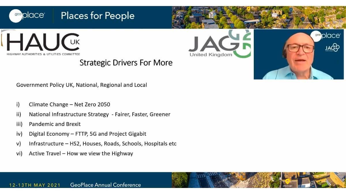
As the CEO of JAG(UK), David Capon heads up an organisation that works nationally, regionally and locally and both politically and operationally at several levels. JAG(UK) aims to influence new legislation and policy, represents the interests of members when engaging with devolved or national governments and works to share good practice on existing legislation. David’s presentation to the 800+ delegates at GeoPlace’s People and Places conference touched on wider aspects of the organisation’s work.
“When we think about the way we live and work, and the influences that face us all in the future, we know we need to develop a circular economy,” he said. “Climate change tells us that, and our National Infrastructure Strategy supports the way we’ll achieve this to become fairer, faster and greener. However, in the wake of Brexit and with the pandemic still having an impact on us, we have realised that change is needed faster.” Being at home more, means the emphasis on fibre rollouts has increased. Active travel is changing too, looking at the value of the road networks that connect us to each other and to essential services such as education, health, and commerce. With every new housing estate, more resources must be delivered: extra pressure is being place on stakeholders and on shareholders, too, at all levels in every sector. One of the most challenging questions for national infrastructure is, do we have the right resources and skills?
With that in mind, and to help UK PLC move forward, a greater level corporate responsibility is necessary. Dave emphasised: “We are working towards better data, which will fuel better operational decisions, but it needs us all to optimise technology – not just use it, but make best use of it. We must start having a ‘single view of the street’ that feeds into every aspect of its lifecycle.” He went on to explain that, for maximum efficiency, collaboration shouldn’t be an add on, it should be integral to methodology. “We need to incentivise the way we work; our work is regulated for a reason, but have we built too many sticks – are we offering enough carrots? We need to plan more effectively and more efficiently, ensuring the data is available to support ambitious plans and new ways of working. That means communicating what we do, better. However, we are making progress – Street Manager, for example, will go some way to alleviating the problems we’ve had to date with siloed information. Reducing the impact of our work, bringing the network up to date.”
Dave explained that, for the first time, for example, the HAUC(UK) app connects theory with practice – it supports over 9,000 people on the ground, working on the national transport network, making a difference in real time. But in addition to more advanced technology and better communication, there is also a need to focus on the basics: the timeliness of data has become a lens through which work is going to be measured from hereon in. “Everyone wants to understand what’s happening in and around the transport network – where, what, how long, and sometimes why, too – but people often feel better-informed when systems reflect the way they want that data. And that means connecting ever more granular data and opening up the access to it, more effectively.”
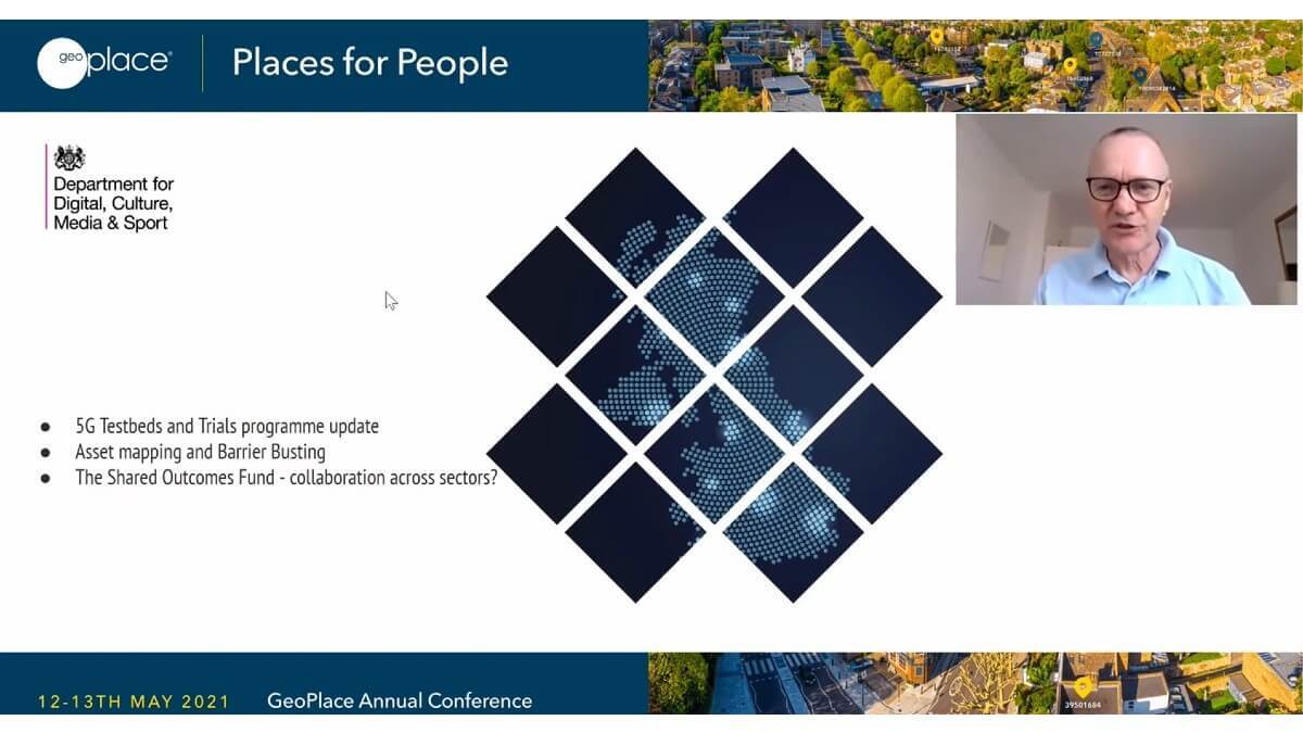
In his role working as the Head of Programme Development for the Department for Culture, Media, and Sport, Tony Sceales echoed this thought: “Making data available at the right time is so important. The 5G testbed and trials were set up in 2017 to provide a coordinated approach to improving connectivity.”
5G is a transport medium for vast amounts of data – it sits alongside artificial intelligence in terms of the leap forward that’s possible for society. The trials bring together over 200 stakeholders who are involved in the rollout of 5G, everything from universities to LAs, to Tier 1 telecommunications providers. Tony presented a ‘periodic table’ of the testbed’s projects, showing just how diverse the testing is in different sectors, domains, industries, and areas – urban and rural. “In the West Midlands, for example, there are specific use cases being tested in the use of 5G in transport – a sensor network spans seven local authorities, generating vast amounts of data, and trial opportunities are still available for organisations that want to pursue innovation through 5G deployment.”
The ‘Barrier Busting Task Force’ is working on access to land, streetworks, new build connectivity, and the support of mobile deployment – all factors that raise challenges as stakeholders strive to make 5G widely available. Working with providers and local authorities, harmonizing the way they work together is essential. Accurate and timely location data helps to make this possible, as do visualisations of work and projects in progress. Regions that want to be 5G-enabled are invited to work collaboratively with the project, and the Digital Infrastructure Connectivity Accelerator is looking at the possibility of using street furniture to facilitate rollout; efficient contracts for small cell providers to enable dense deployment of 5G; and standards for Smart infrastructure – all of which will need to factor in impact on transport.
Anthony Ferguson, Head of Traffic and Technology at the Department for Transport, picked up the same themes: “When we talk about the role of local transport, and how data is so relevant for our outcomes, we’re talking about decarbonising transport; increasing our global impact, and our different role in the world through influence and trade; improving transport for users; levelling up the economy – and improving connectivity for everyone, everywhere in the UK.”
Looking at data in a departmental context, one of the learnings has been that data sharing is still a challenge – not only from an organisational perspective, but also in economic and cultural terms. It is not about leading edge technological advancements; success depends on making better decisions that help us optimise the data being constantly generated. For local transport data specifically, it is clear that local authorities need ongoing support, if they’re to focus on making more high-quality data open; the Department for Transport wants to sponsor data projects that foster better local authority transport services; promote training; and explore of datasets that might have a value for the private sector.
“We are creating an action plan that will provide guidance on how to open up, share and exploit their transport data. It focuses on three key areas – traffic management, parking, and future of transport,” said Anthony, “and we believe the resulting guidance document will have tangible value not only for local authorities but also for organisations and businesses that might want to use this data. In doing this, we’re aware that collaboration is imperative; bringing data users together through common discoveries, rather than replicating different models of systems and associated progress.”
As an example, StreetManager is the digital service that helps utility companies and local authorities to carry out roadworks as efficiently as possible. Since July 2020, the system has supported the creation of over 2m permits for roadworks, with 1.2m files uploaded and 840k comments. It not only helps to bring data-users together and make the right data available, but it is also generating essential feedback that will further help to improve the road network and how it can be maintained and developed further. The system is underpinned by location data – every one of those permits exists under a single USRN.
Anthony provided another example of granular data use: “E-scooters are a mark of micro-mobility, worldwide. Here in the UK, they are not legal at the moment, but trials are being run to explore the impact of legalizing them. This will be setting a precedent, and this disruptive technology must prove its value by measuring data, analysing data, and sharing data that will inform the decision-making processes. Mobility-data marketplaces will need regulation, and we want to be optimising all of the data that’s being generated throughout. We’re learning about users, demographics, use cases – the insights we’re gleaning are User Trips rather than Vehicle Trips, and this will be formative in the way we start to build a more people-centric society.”
Adam Jennison, ICT Principal Lead (Smart City) for Hull City Council followed on, noting that, as we talk in general about the Department of Transport’s strategy and the transport layer as a whole, authorities might also look at transport-related data and how it helps a city’s ambitions – in this example, Kingston upon Hull (Hull).
The concept of working towards smart cities, or smart towns or environments, is still very much a priority for many local authorities. Most of the data generated, within in a city, is geo-based; it has a time attribute and a location attribute, which makes it a highly valuable source of insight. With the right systems in place, a smart city is, essentially, a feedback loop of data – providing a single view of the environment, using location as a pivotal reference point from which to create analysis and make better-informed decisions. However, disparate formats and datasets do need to be combined to add context. Information about streets themselves, utilities, the environment for example.
To bring this together, Hull has looked at ways to co-join that data. In 2018, the team jumped at the chance to take part in the DFT’s “Opening Transport-Related Data” competition. Hull lends itself well to smart city analysis exercises; the geography of the city includes dense infrastructure, roads, and a river. With funding in place, and support from the DFT, the team went out looking for datasets that might help inform authority decisions – and found them, hidden datasets, city-wide. Data, for example, that was collected incidentally through road crossing technology, that provided insights as to the movement of people in and around the city – putting the spotlight on ways in which the local authority might learn more about and improve or support the night time economy and transport provision in the city.
Parks’ information, parking information, cycle journeys taken from video-stream analysis, corridor travel times, road usage… the team also invested in machine-learning that could interpret the data from transport cameras (there are over 300 CCTV cameras in Hull), and on examination, the data proved to be invaluable. The team created an Open Portal through which this information could be released in real time (once every five minutes), for the benefit of anyone who wanted to understand more about how the city worked. Not just traffic flows, but potential crimes such as ‘near misses’ for cyclists, for example, and queue lengths and traffic speeds.
Analysis from the cameras delivered over 90% accuracy, but because it is infused with location data, it can be used relatively easily elsewhere by other organisations, too. The data collected in Hull, for example, was used in Newcastle to underpin certain elements of Covid-related traffic analysis – understanding the impact on network traffic. In Hull, this data will be used to project the impact of roadworks and other traffic-oriented planning – reducing risk, but increasing confidence in the decision-making.
Ambitious as it may seem, ultimately, the team wants to work towards using this data in a ‘digital twin’ that will project different scenarios, interpreting how single events might impact the whole road network across the city.
The question arises, what’s next? Generating data means learning to manage large amounts of information; engaging with citizens and understanding more about the standards and the importance of privacy; and the team wants to work in an agile way, to implement provisioning for the future; for computerised autonomous vehicles, for example. With location data integrated in every new datasets being ‘opened up’ by the team, the data being collected and interpreted now will be essential for those longer term plans; a smart city that embeds location data has the means to measure, to learn, and to continuously improve its outcomes