Share
GIS has a long association with crime mapping and analysis. Location data provides the means to visualise trends and patterns, identify hot spots, plan resources, and take preventative action related to myriad aspects of law and order. For exampls, alcohol-related crime, anti-social behaviour, knife crime and public safety and welfare. In North Yorkshire, the Office of the North Yorkshire Police, Fire and Crime Commissioner (OFPCC) wanted to increase the uptake of local crime prevention measures. To do that, the team needed insight.
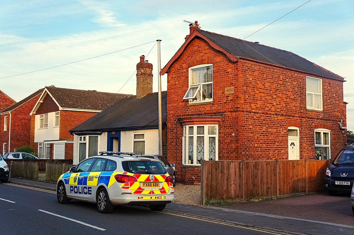
In all, £719,590 is being invested to implement measures to combat burglary and protect individuals, families and businesses in over 1,000 homes and 90 farms along the borders of Craven District and Harrogate Borough with West Yorkshire. This is an extension of the area’s Protect Your Home scheme which has already improved security at hundreds of homes and farms. The scheme involves engaging householders and businesses in a security survey, after which upgrades can be made to existing security measures.
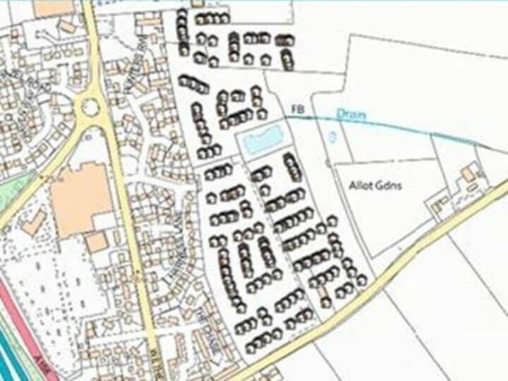
However, to promote uptake, the OFPCC needed to engage the residents. To enable this, the GIS Team working within the ICT unit at North Yorkshire Police and North Yorkshire Fire and Rescue Service Joint Headquarters” structured an exercise to provide accurate insights about the number of properties within each Lower layer Super Output Area (LSOA). This information underpinned an efficient direct mail campaign, targeted to the residents in that area, together with engagement with the local parish and council councillors. At the heart of this exercise, the Unique Property Reference Number (UPRN), provided the confidence to ensure no duplicates were created; that the direct mail campaign focussed on appropriate households; and that the resulting data of successful funding applications can then be correlated and used again, in analysis of uptake and implementation.
Security measures’ installation teams were then given details of those properties that had showed an interest in the scheme, along with access to Address Finder details, to negate any confusion over addresses. A wide range of equipment was then installed. This included new locks for vulnerable doors, windows, garages and sheds, and alarm systems for farms and small holdings. For homes with suitable WiFi coverage the scheme also includes a RING video door bell.
Crucially, as the properties were identified with geospatial data, the implementation and uptake could then be used for comparative analysis against crime/time patterns.