

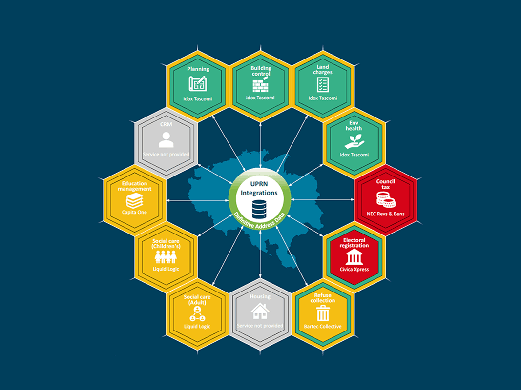
Knowing where things are makes it possible to deliver services. With a unique identifier for every property, street, public right of way and taxable asset, your authority knows exactly what it’s responsible for, where to put resources now and plan for the future.
But your authority’s LLPG and LGS is much more than a corporate database of addresses and streets. The UPRNs and USRNs empower every department to cross-reference and link its data at household or street level – and that makes it easier to reduce costs, identify vulnerable people, reduce fraud, and make the whole authority more efficient.
For example, social progress indices can be combined with data that helps target warm home grants, or identify tall buildings. They are also used for:
- Linking social care to housing needs
- Linking health and social care services to vulnerable people
- Linking benefit claims to potential fraud.
Location information can show where the problems are and, in many cases, what the impact of changes in policy might be. It can be used for analytics, and to help promote key initiatives such as warm home grants, social care plans, tall building actions and emergency care.
Everything happens somewhere
Today, 1,092 organisations across the UK are using your local address data.
The wider public sector, the emergency services and businesses right across the UK also rely on this data.
LLPG and LSG Custodians feed change intelligence in to the national hub of address and street data maintained by GeoPlace on a daily basis. GeoPlace combines and transforms that data, and outputs it as national datasets like OS AddressBase, the National Street Gazetteer, and OS Highways Network.
That data is made available free of charge to the whole public sector and emergency services under the Public Sector Geospatial Agreement. It’s also licensed to service providers such as utilities, banks, underwriters, logistics firms, retail organisations, regulators and the property sector.
See the journey of the data in this video.
Explore the wide range of uses for location data, and see how Street Naming and Numbering Officers, Address Custodians and Street Custodians are at the heart of this important national infrastructure.
This video shows the wide range of uses of the UPRN and USRN.
Gazetteers @ GIS Day
Your personalised reports
All about your local authority's personalised set of infographics, an integration assessment, and other visual resources.
Gazetteers @ GIS Day
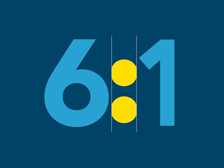
Your ROI from data integration
Discover how you can get a ROI of 6:1 through integrated your data
Gazetteers @ GIS Day
Endorsed by leaders
Discover videos from senior politicians, managers and practitioners in local authorities and central government.
