

Pinpointing London’s Cultural Plan
The Greater London Authority wanted to address the risk of decline in appreciation for London’s cultural spaces by making those spaces more findable, and by making it easier for all kinds of stakeholders to understand what’s needed to support those venues.
Learn more about Pinpointing London’s Cultural Plan
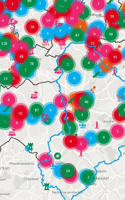
Predicting and preventing fires
We worked with the London Fire Brigade (LFB) and National Fire Chiefs Council to explore the impact of machine learning for predicting fires – by building an address catalogue with complex details of every building in London.
Learn more about Predicting and preventing fires

Reducing emergency service response times
The project has demonstrated that the UPRN, when used as a key reference identifier, facilitates effective and efficient public service information sharing resulting in tangible service provider benefits that ultimately lead to better outcomes for citizens.
Learn more about Reducing emergency service response times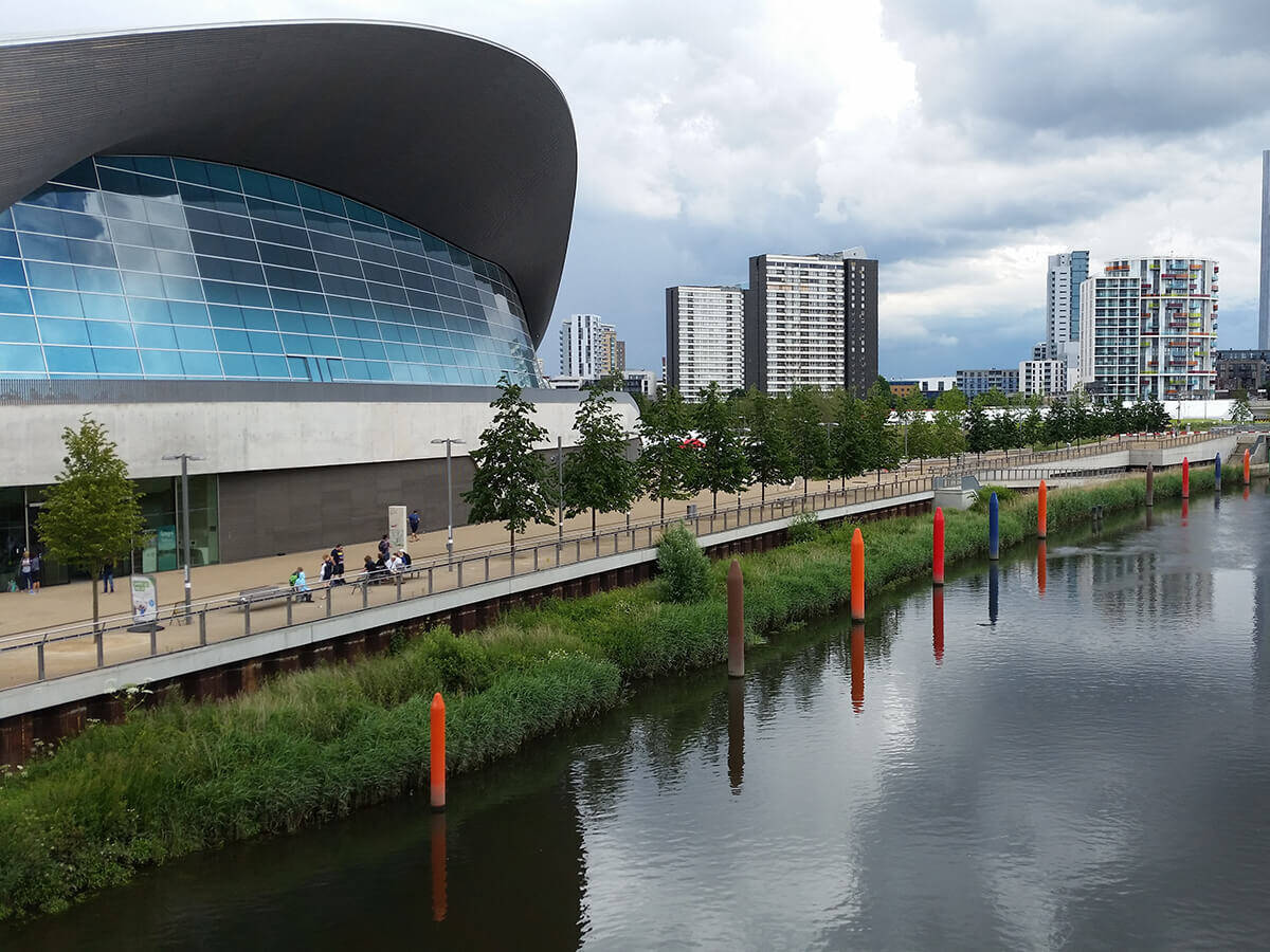
Communicating and coordinating the Olympic Route Network
For the Olympic and Paralympic Games in 2012, the Olympic Route Network (ORN) and Paralympic Route Network (PRN) needed to be as efficient as possible. Across London, the Home Counties and parts of the South West where sailing events took place, designated routes were essential.
Learn more about Communicating and coordinating the Olympic Route Network