

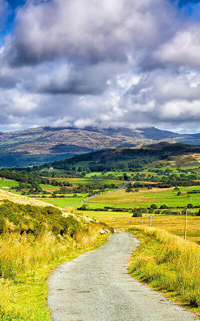
Using location data to evaluate unadopted roads
Unadopted streets can have a big impact on residents, as the roads may become unsuitable for vehicles and/or they need maintenance at those individuals’ own expense. We were approached by Welsh Government to help identify and quantify the extent of unadopted streets in Wales.
Learn more about Using location data to evaluate unadopted roads
GeoPlace analyses proximity to Greenspace
Greenspace is essential for our well being. Here at GeoPlace, our teams use data in many different ways to create compelling data visualisations. We wanted to show greenspace in Britain in context, to see how near (or far) away those greenspaces are from locations in five major cities.
Learn more about GeoPlace analyses proximity to Greenspace
Using location data to improve the electoral canvass
Address data submitted by residents, but that source information was prone to error and inconsistency. We matched the data, added UPRNs where there weren’t any, and made sure every record was updated with the official address.
Learn more about Using location data to improve the electoral canvass
Analysing the footpath network for Bracknell Forest Council
Knowing whether a street is maintained by the local authority or not, is a vital attribute for streetworks coordination and the list of streets. Responsibility, liability and local authority road maintenance funding is linked to this authoritative information.
Learn more about Analysing the footpath network for Bracknell Forest Council