Share
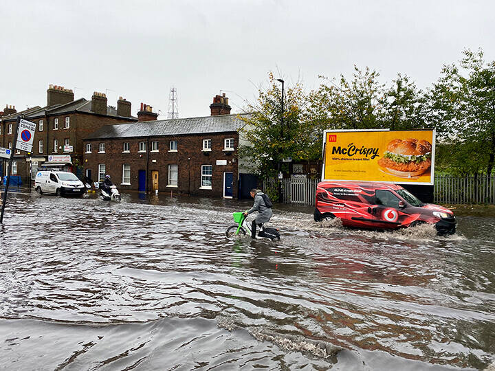
In late December, 2015, Leeds City Council faced intense flash flooding within its area. Urgent action was needed to identify all affected buildings.
The Business Rates and Council Tax departments needed to identify flooded areas in order to avoid any miscommunication with regards to missed payments and provide mandatory relief. The Unique Property Reference Number (UPRN) became a key driver in the assessment of the entitled relief for all residential and commercial properties.
All teams involved in the flooding clean-up required property information, which was successfully provided through the incorporation and use of the gazetteer.
Challenges
Leeds City Council faced several challenges when the flooding occurred. These included:
- The speed at which the council needed to work. The flooding happened suddenly and came during the Christmas period when several departments were away from work
- Each department involved in the flooding clean-up was individually only able to provide limited address and street information. This resulted in a large data matching exercise, with several duplicates being highlighted and removed
- Commercial properties with short term leases and a quick tenant turnover posed a challenge when communicating the required relief. It was unknown at the time of the floods which individuals were leasing the properties.
Solution
The main objective for the use of the gazetteer was to secure the correct relief for the victims of the flooding. This was secured through a number of solutions:
- Collating the evidence to provide to the government information regarding all buildings affected
- Carrying out data matching and removing duplicates as soon as the information was provided
- Improved internal communication. At the beginning, updates were sent to all departments involved in the flooding every 2-3 days. This ensured department collaboration as well as an increased understanding from everyone regarding the situation
- Establish floor levels as well as the type of property. The floor level and property classification data was invaluable in adding attributes to the data. They used their match data to CTAX and NDR to provide them with a list of affected accounts so that they could quickly contact those customers and protect the accounts from non-payment. This process relied on the gazetteer having a 100% match to CTAX and NDR.
Outcome
The key outcome was the identification of properties affected by the flooding. This ensured all relief could be effectively paid.
Awareness around the benefits associated with the gazetteer was increased within all departments involved with the flooding. The initial UPRN use acted as a driving force to increase the use of the gazetteer elsewhere. Systems were put in place for the future, ensuring all data sent now attached the UPRN.
Through the use of the UPRN, Leeds City Council are now able to map vulnerable properties. This has produced an easy to understand picture of areas at risk of future flooding. This allowed for an action within the council to look forward for effective ways to use the gazetteer. The next step is to now identify and maintain the key data sets within the council, making the data available to all necessary departments within Leeds City Council.
Download the PDF of this case study: www.geoplace.co.uk/documents/10181/38143/A+property+level+view+of+flood+relief+in+Leeds
Contacts
Rachel Antcliffe – Principal LLPG Officer ([email protected])
Amber Hill – Research and Communication Assistant ([email protected])
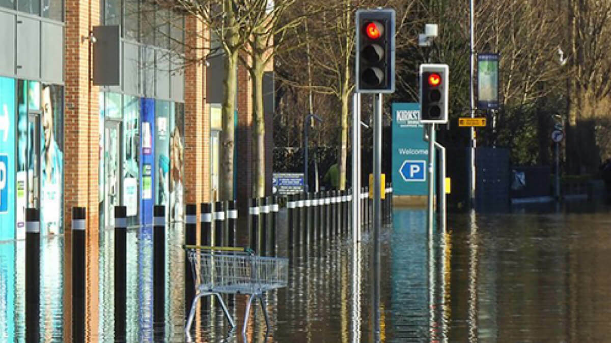
Image: At the junction of Bridge Road and Savins Mill Way. See SE2635 : Flooding at Kirkstall Bridge for context.
© Copyright Stephen Craven and licensed for reuse under this Creative Commons Licence