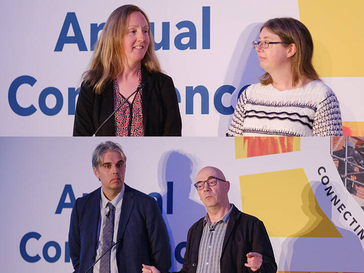
Mark Williams, Senior Advisor at the Local Government Association (LGA), delivered a lively and insightful session centred on the value of geospatial data in local government, and the critical role of address and street information in service delivery, policy planning, and cross-sector collaboration.
Recordings of the 2025 conference talks can be found here

Mark began by outlining the LGA’s data improvement programme, which supports councils in advancing performance management, data maturity, transparency, and the adoption of data standards. Delivered through webinars, masterclasses, e-learning, and an online data maturity self-assessment, the programme equips local authorities with the tools and frameworks to make better use of the data they already hold.
He then addressed a fundamental challenge shared by many in the room: the problem of inconsistent, fragmented, or difficult-to-locate data. Through a relatable analogy about navigating Bank Station in London using Google Maps, he highlighted how even seemingly straightforward data—such as an address or point of entry—can become problematic when systems don’t align.
For local government, this misalignment is particularly acute. Councils work with highly varied data sets across services such as social care, education, highways, revenues and benefits, and housing. Each domain often develops its own language and definitions, meaning that terms like ‘household’ or ‘unique ID’ can refer to very different realities depending on the context. Without a shared vocabulary or consistent standards, departments risk miscommunication and inefficiency.
Mark illustrated this point through a striking example involving adult social care. A person with a respiratory condition might be placed in social housing without reference to air quality data. But by integrating datasets from highways, housing, and health, councils could anticipate and mitigate such risks—reducing hospital admissions and financial costs in the process.
He then turned to a detailed case study drawn from real experience. A single property—originally a townhouse—underwent multiple transformations over the course of a decade: first a fish and chip shop, then a flat, then a micro-pub with a bed-and-breakfast, and finally back again to a takeaway. Each change triggered a different response from council departments, utility companies, and the postal service. Over time, a series of new addresses were created—’Flat Above,’ ‘Flat 1,’ ‘First Floor Flat,’ ‘Flat A,’ ‘The Lodge,’ and more. Some were visible to some systems, others were soft-deleted, causing duplication alerts or additional burden for referrals.
Mark used this narrative to reveal how disconnected address systems can disrupt service delivery. When a flat couldn’t be found on the system during a social services referral, sparked a frantic, error-prone effort to manually create a workaround. In other departments, changes went unnoticed, resulting in address discrepancies across bins, billing, and planning. By the end of the story, the same physical property had generated four or five distinct address records across different systems.
This, he explained, is the cost of working without a common address identifier. Had a Unique Property Reference Number (UPRN) been used consistently from the outset, each department, agency, and service could have recognised the property instantly—regardless of name or use. The lesson was clear: semantics matter, but identity matters more.
Mark praised the work of Address and Street Custodians across the country who maintain high-quality address and street data, often without fanfare. He urged attendees to engage with their custodians and ensure leadership understands the strategic importance of this data. Without accurate location data, most local services would fail to function effectively.
He pointed to real-world benefits: reducing fraud, improving emergency response times, supporting social care planning, and enabling better data sharing across health, housing, and third-party services. UPRNs and USRNs, he argued, are the key to interoperability—connecting datasets that otherwise live in silos.
To raise the profile of this work, the LGA and GeoPlace have launched the Best Kept Secret programme. The initiative is designed to spotlight the hidden value of address and street data, and to showcase practical examples where local authorities have used it to drive efficiency, policy coherence, and improved community outcomes.
The programme combines case studies, webinars, peer learning, and practitioner insights. It supports councils in understanding how to assess current use of location data, establish governance frameworks, integrate standards, and build long-term adoption into their digital and policy transformation strategies.
The ultimate goal, Mark said, is to enable councils to confidently ask: ‘Show me everything we know about this address.’ Not just from a property or planning perspective, but from across housing, health, finance, education, and beyond. And not by patching together partial records, but by drawing on authoritative, linked data.
To support this shift, the Best Kept Secret programme is also producing a practical guide for transformation leaders—whether elected members or officers. It will offer clear, actionable advice on embedding address and street data into business processes, championing geospatial insights, and strengthening interdepartmental collaboration.
Mark closed by reaffirming that this work is not simply about technical accuracy—it’s about unlocking public value. High-quality location data has the potential to transform local government services, but only if its stewards are empowered, recognised, and supported. With the right focus, councils can ensure the best kept secret is no longer hidden—and that geospatial insight becomes embedded in the fabric of public service delivery.


